Full Article
about Ramirás
Hide article Read full article
Ramirás: A Municipality of Scattered Parishes
Ramirás belongs to the Terra de Celanova, in the interior of Ourense province. It is not a town. It is a municipality composed of numerous small parishes—A Veiga, O Burgo, Pazos, among others—dispersed across a landscape of gentle hills and shallow valleys. This is not an anomaly but the traditional settlement pattern of rural Galicia: a constellation of hamlets surrounded by the small plots, stone walls, and kitchen gardens of a subsistence agricultural system. The structure is centuries old and remains clearly legible in the territory.
The historical context for this area is anchored in Celanova, a ten-minute drive away. The Benedictine Monastery of San Salvador, founded in the 10th century, was a major economic and religious power for most of the Middle Ages. Many of the parishes in Ramirás fell under its domain, which influenced local land organization and the construction of its earliest churches.
Parish Churches and Working Architecture
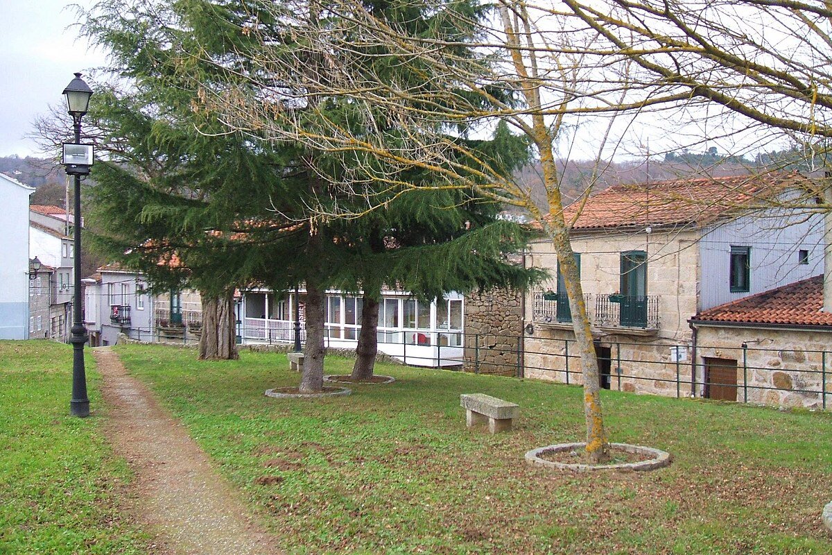
There is no single monumental focus. The heritage of Ramirás is distributed and functional. The parish churches, like Santa María in A Veiga, are the most visible landmarks. Their architecture is typical of southern Ourense: simple stone construction, a bell gable (espadaña), and modifications made across generations. They are usually locked, opening only for mass.
More constant in the daily view are the elements of traditional rural architecture. Rectangular hórreos (granaries) on stone stilts are still used for storage. You will see them beside houses, their roofs of tile or slate in good repair. The older houses themselves often have large stone gateways and wooden balconies facing south, designed to catch sunlight and provide a dry, sheltered space. These are not decorative features; they were built for specific household and farm work.
Smaller structures mark the communal points: stone fountains, covered washing places, and cruceiros (wayside crosses). Many of these crosses date from the 17th or 18th centuries, though without a legible inscription it’s difficult to be more precise.
Reading the Landscape on Foot
To understand Ramirás, you move through it. The network of local roads and agricultural tracks connecting the parishes is the best guide. The terrain rolls; it is not steep but consistently uneven. A walk from one hamlet to another—following a track that may turn from asphalt to compacted earth—reveals the logic of the place: how water channels are cut along field edges, how stone walls denote old property lines, and how many of these elements are still in use.
Cycling is possible but requires readiness for short, sharp climbs and variable surfaces. The value here is in the rhythm of travel, not in covering a great distance.
A Working Countryside
The interest in visiting Ramirás lies in observing a living, working rural landscape. It is defined by small-scale farming, scattered villages, and the paths between them. It does not offer curated sights.
Celanova provides the broader historical frame, with its imposing Monastery of San Salvador dominating the old town. It is worth visiting to contextualize the area.
If you go by car, park thoughtfully. Leave access to fields and tracks completely clear. Tractors and trailers use these lanes daily, especially during planting or harvest. Driving requires patience; you are sharing the road with the local economy.
Weather and Ground Conditions
Spring and autumn are the most agreeable seasons. In spring, the meadows are intensely green and the chestnut woods fill out. Autumn brings a rapid change of colour to the trees and undergrowth.
Summer heat can be intense at midday. An early start or a late outing makes walking more feasible. The main challenge in winter is mud. After sustained rain, the unpaved tracks can become waterlogged and slippery.
Mobile phone coverage can be intermittent in the valleys between parishes, which is common in this part of rural Ourense.
Practicalities for a Visit
The most straightforward route is from Celanova, taking the local road and then turning off towards the various parishes. Distances are short on a map, but the roads are narrow and winding, so travel is slow.
Wear footwear suitable for uneven, potentially muddy ground if you plan to walk. Respect the active use of the land: do not cross stone walls or enter cultivated plots or meadows.
Traffic is local and agricultural. You will likely share the road with farm vehicles moving slowly between fields. Adjust your pace accordingly.