Full Article
about Pol
Hide article Read full article
Pol: A Parish Map in a Working Landscape
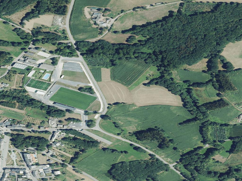
To visit Pol is to navigate a parish map. This municipality lies within the Terra de Meira, in the interior of Lugo. Its character is defined by a dispersed settlement of small villages and farmland, not by a central town. The population, around fifteen hundred, is spread across this territory.
The landscape is one of practical use. Gentle hills are patterned with meadows, stone barns, and hórreos, the traditional raised granaries. Roads and service tracks connect working farms. There is no curated historic centre. The structure here is older and more functional, a network of parishes that has organised life for centuries.
You see continuity in the placement of houses beside the land they work. The light in this part of Galicia shifts often, revealing subtle valleys and contours that flatten in midday sun. This is not scenery designed for observation, but geography used for livestock and crops.
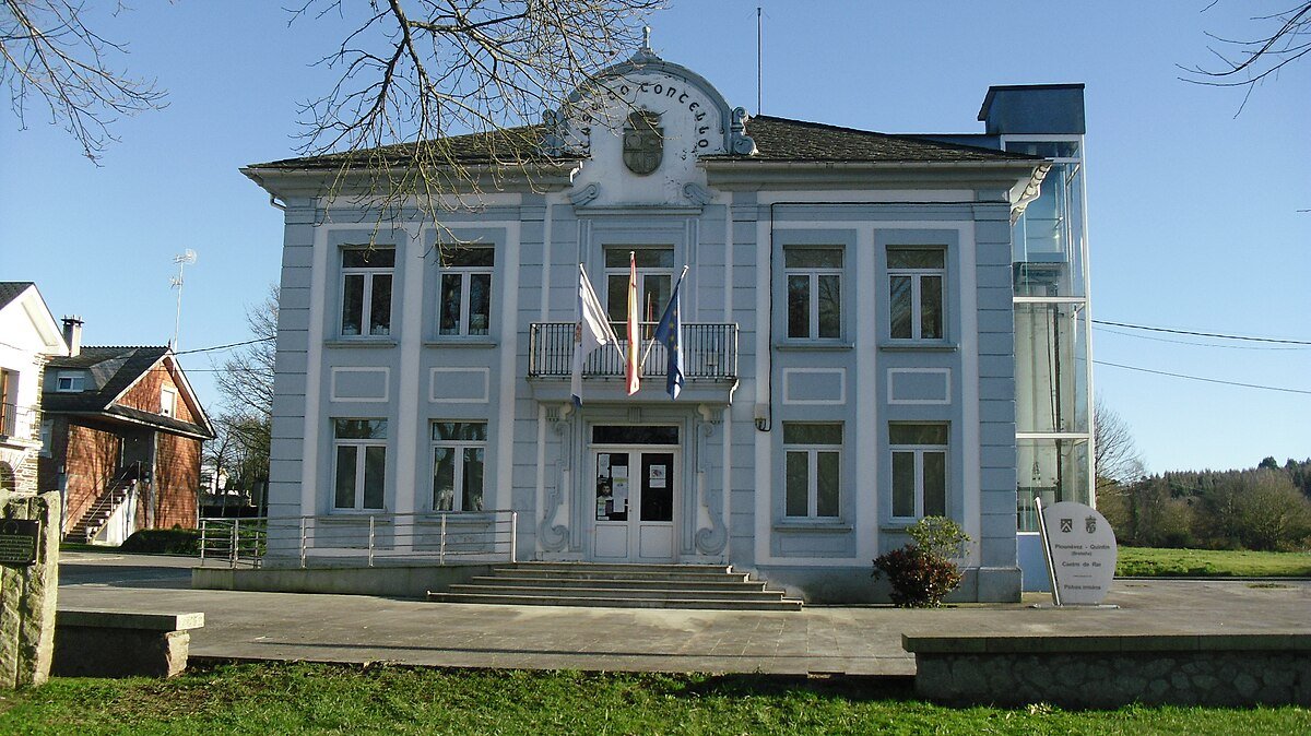
Santa María and the Parish Ground
The church of Santa María de Pol incorporates masonry from a Romanesque building, though its present form is the result of later modifications. The architecture is sober. Its significance lies less in ornament and more in its relationship to the atrio, the enclosed churchyard that surrounds it.
This space functioned for generations as the civic and social heart of the parish. Meetings happened here after mass; community boundaries were affirmed. A stone cruceiro and the adjacent cemetery complete the picture. Together, they illustrate a historical order where spiritual, social, and territorial limits were aligned.
The church remains integrated into this working landscape. It is connected by the same web of lanes that link farmsteads, part of the same system rather than an isolated monument.
The Architecture of Use
You find traditional architecture spread throughout the municipality’s villages. Hórreos appear in various forms, some on classic stone pillars, others newer and attached to renovated homes. They are storage buildings, not decorations.
The paths tell a similar story. They are sunken between banks or low stone walls, shaped by generations of movement with carts and animals. Their purpose is access to fields, not efficient travel. Wooden gates and wire fences mark the edges of meadows.
Near streams, remnants of oak and chestnut woodland persist. After rain, which is frequent here, water seeps from the banks onto these lanes. The ground becomes heavy. The environment behaves on its own terms.
Waymarks in a Dispersed Territory
Small chapels are scattered across the parishes. They are not architecturally grand. Their importance is local and social, often built at path crossings or on slight rises visible from several villages. Their placement maps how people moved.
Stone crosses stand at track junctions or bends. In a landscape where houses are far apart, these served as recognised points of reference. For a visitor today, they function as quiet guides, noting a turn or a meeting of ways.
These elements do not announce themselves loudly. They gain meaning through context and repetition, appearing along routes that were walked daily.
Navigating the Municipality
Moving through Pol requires adjusting to its scale. Villages are separated by farmland. Secondary roads are narrow, with bends and unmarked junctions. Sharing the road with tractors is expected.
There is no prescribed tourist circuit. A better approach is to link several parishes, stopping where something holds your attention: a cluster of hórreos, a maintained churchyard, a view down a valley.
A short visit could centre on Santa María church and a walk through its nearest village, which shows the basic parish structure. A longer stay lets you feel the difference in terrain between the higher ground and the valley floors.
Mobile phone coverage is unreliable in some areas. It is sensible to have a route planned or maps downloaded beforehand.
Parish Time and Season
Local festivals follow the parish calendar. In summer, patron saint celebrations typically involve a mass and a neighbourhood gathering. These dates often see former residents returning to their family villages, changing the usual quiet rhythm. Specific dates should be checked locally.
Autumn has a distinct presence. The chestnut season, particularly if aligned with the magosto tradition of roasting them, fills the air with the scent of woodsmoke and damp leaves.
Spring and early summer show the meadows active with grazing livestock and at their greenest. By late autumn, increased rainfall can turn unsurfaced paths muddy quickly, a practical consideration for walking.
Pol is understood through its rhythm and layout. It reveals itself in the ongoing relationship between land, parish, and work.