Full Article
about Oímbra
Hide article Read full article
A landscape without a centre
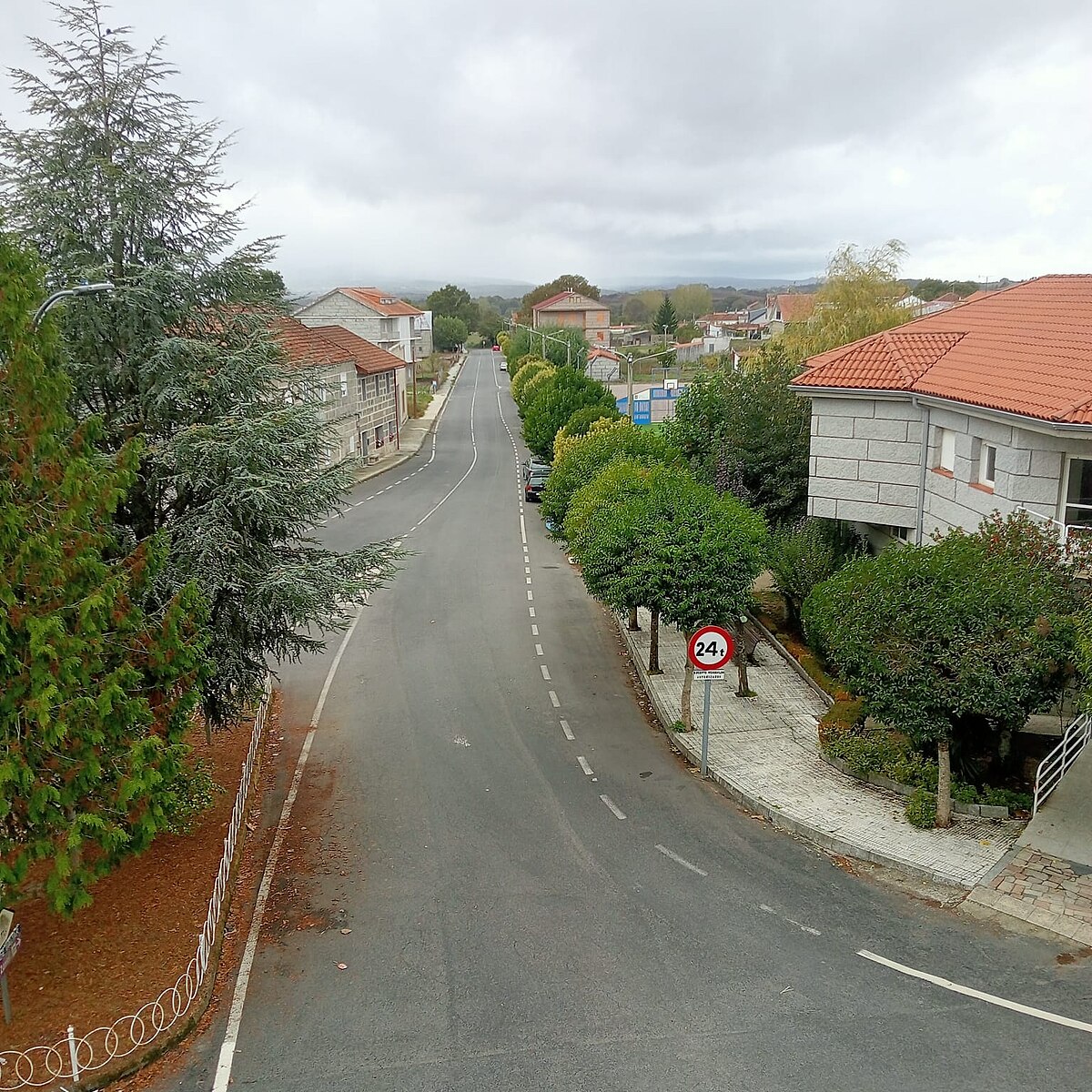
Oímbra sits at the southern edge of Ourense, its municipal territory a collection of small villages scattered across the Monterrei valley, close to the Portuguese border. You won’t find a central plaza or a dense historic nucleus. The logic here is different: houses and hamlets are placed where the land could be worked, connected by a web of tracks and stone walls. The space between settlements isn’t empty; it’s the reason the villages exist.
Monterrei and a border past
The history of Oímbra is best read from the castle of Monterrei, a few kilometres to the west. Built up between the 14th and 15th centuries, the fortress controlled a medieval frontier. From its walls, you see the entire valley floor—a strategic view that explains the dispersed settlement pattern below. Villages were built on cultivable land, not for defence. The lower fields were for cereals and kitchen gardens, with vineyards appearing later.
The border with Portugal has never been a hard line here. It’s present in the soft inflection of local speech, in certain architectural details like enclosed courtyards, and in the way the land is divided. For centuries, movement across this line was routine.
Stone, villages and everyday buildings
You won’t encounter grand monuments in Oímbra. What you will see is a consistent vernacular architecture built from local stone. The houses often have attached storage spaces and hórreos, the raised granaries still used for storing maize. These structures aren’t decorative; they were designed for the climate and the agricultural cycle.
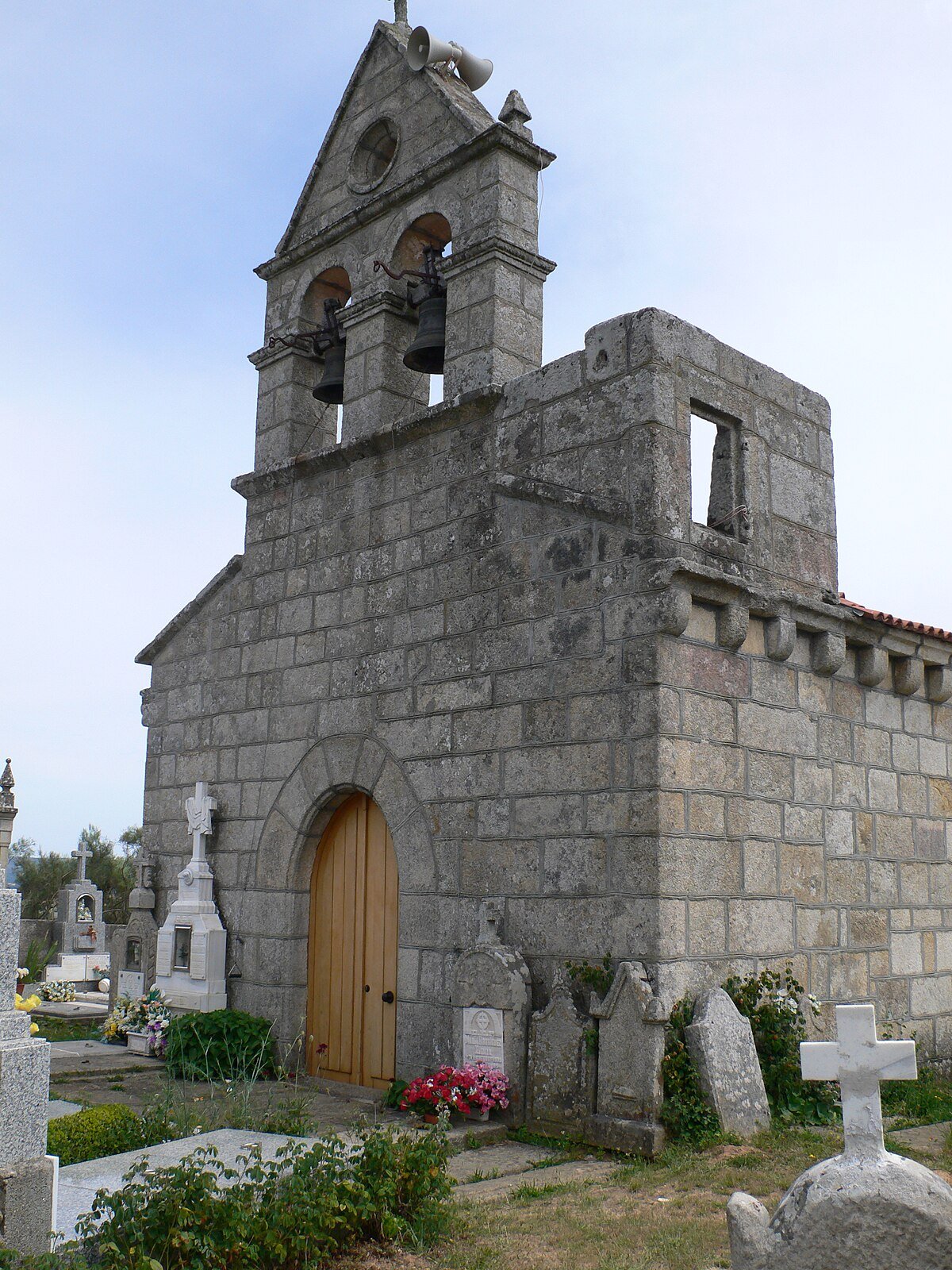
The parish church of Santa María exemplifies this practical character. Its architecture has been modified over time, without a single coherent style. What matters is its position within the village and the broad atrium that surrounds it—a space that functioned as much a community meeting point as a religious one.
Along paths and at crossroads, you’ll notice small stone crosses and chapels. These cruceiros often marked parish boundaries or key junctions in the network of farm tracks. They are subtle signs of how the territory was organised and understood.
Vineyards in the Monterrei valley
Much of Oímbra falls within the Monterrei designation of origin. Vine cultivation in this valley is documented since at least the 12th century, supported by local monasteries. The landscape today is still shaped by it: small plots of vines, bordered by low stone walls, stretch between the villages.
The plots are family-sized, and the agricultural tracks that separate them are still in use. Activity peaks during the vendima in autumn. The rest of the year, the rhythm is slower. Walking these tracks gives you a clearer understanding of the municipality’s structure than any single building could. Look for the wide doorways on older houses, designed for bringing in tools and harvests.
Moving through Oímbra and its surroundings
Getting around requires a car to hop between villages, but the terrain is gentle enough for walking along the rural paths that connect them. In summer, the sun in the open vineyard areas is intense; walking early or late in the day is advisable.
Oímbra is typically visited as part of the wider Verín area. The town of Verín itself has a busier centre and maintains the thermal spa tradition common in this part of Ourense. The castle complex at Monterrei is the major historical site overhead.
The proximity to Portugal feels ordinary here. The town of Chaves, just across the border, has long been a market and social destination for people from this side. Oímbra’s interest lies in observing this working landscape—where history is embedded in the layout of fields and the function of villages, not curated for visitors.