Full Article
about Mansilla de la Sierra
New town built after the old one was flooded by the reservoir; spectacular setting of water and mountains.
Hide article Read full article
Arriving in Mansilla de la Sierra
In Mansilla de la Sierra, the car comes first. The village centre is small and the streets are narrow, so most visitors leave their vehicle in the upper part of the village or in a space near the entrance and continue on foot. It is the simplest way to get around.
Most people arrive from Logroño via Nájera, taking the LR‑113 towards Anguiano. The final stretch has plenty of bends. In rain, snow or muddy conditions, it is best to take it slowly. This is mountain territory in La Rioja, and the road reflects that.
Once there, everything feels compact. Mansilla de la Sierra sits in the upper Najerilla valley, in a part of the region where settlements are small and distances between them grow longer. The scale is modest, and that shapes the visit.
A Small Mountain Village
The village can be covered quickly. In ten or fifteen minutes, most of the streets have been walked. There are stone lanes, reddish roofs and wooden balconies, features that will be familiar to anyone who has travelled through other villages in the sierra riojana.
Even so, it is easy to picture what daily life might have looked like when the area had a larger population. The layout remains intact, and the essentials are still there.
A few old washhouses and public basins survive. They do not stand out as major sights, yet they help to sketch a picture of how people once organised their routines around shared water sources. Several fountains are scattered through the village as well, reinforcing that sense of a place shaped by practical needs.
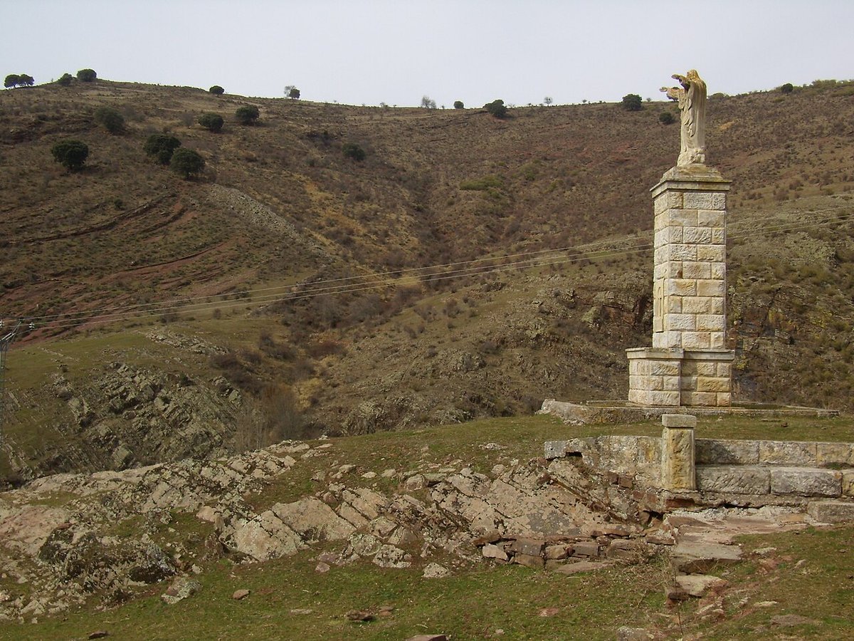
The church is simple in design, with a bell gable that can be seen from almost anywhere in the village. Sometimes it is open, sometimes not. There are no clear visiting hours, so entry depends on the day. If the door happens to be unlocked, the visit is brief.
There are no grand monuments or large historic quarters here. Mansilla de la Sierra is defined more by its setting than by individual buildings.
The Reservoir and the Najerilla Valley
A short distance from the village, several informal vantage points look out over the Embalse de Mansilla and the Najerilla valley. These are not purpose-built viewpoints. They are edges of paths or small rises near the village, places where the land naturally opens up.
On clear days, peaks of the Sierra de la Demanda can be made out in the distance. The mountains form a backdrop that changes with the seasons, sometimes sharply outlined, sometimes softened by haze.
The reservoir has a strong presence in the landscape today. Part of the old village was submerged when the dam was built, and this is a subject that often comes up in conversation with local people. The water altered both the physical setting and the memory of the place.
From above, the contrast is clear: the still surface of the reservoir below, the slopes descending towards it, and the compact cluster of houses on higher ground. It is a landscape shaped by both geography and more recent intervention.
Walking into the Surrounding Countryside
Many paths begin directly in the village. Some lead into forests of beech and oak. Others descend towards pine woods closer to the water. The terrain varies quickly, moving from open slopes to shaded woodland within a short distance.
Traces of older working routes can still be found. These paths were once used for local jobs in the area, including old mining operations on the hillsides. They are part of a past that is not heavily signposted but still present in the ground underfoot.
Summer brings welcome shade beneath the trees. In autumn, the hills shift in colour as the leaves turn. Winter is more complicated. If snow has fallen, certain access routes become slow and more difficult to navigate. Conditions can change quickly in this part of La Rioja.
Services in the area are limited. Anyone planning to walk for several hours should carry water and some food. Care is also needed near the reservoir. There are stretches with private property and others where the ground drops steeply towards the water.
The sense of space is one of the main draws. Beyond the village streets, the landscape opens into forest, slope and sky. The experience depends largely on the weather and the season.
When to Go
Spring and autumn are usually the quietest times. Temperatures are moderate and the valley feels calm. Summer sees more people heading up into the sierra, and the heat can be intense at midday, although evenings cool down considerably.
In winter, the landscape may be covered in snow. Access, however, depends heavily on the weather in the preceding days. Roads and paths can be affected, especially along the winding approach from Nájera and Anguiano.
Each season changes the appearance of the Sierra de la Demanda and the Najerilla valley. What remains constant is the scale of the village itself.
A Short Stop in the Upper Najerilla
Mansilla de la Sierra is quick to see. It works well as a stop while travelling through the Najerilla valley or as a base for walking in the surrounding hills. For a short visit, it is enough.
Those looking for major monuments or a large historic centre will not find them here. The interest lies elsewhere. The village provides a starting point for understanding this stretch of La Rioja, where mountain roads curve through forest and water reshaped part of the past.
Here, the environment sets the tone more than the architecture. The stone streets and simple church form the foreground, but the reservoir, the valley and the Sierra de la Demanda define the wider picture.