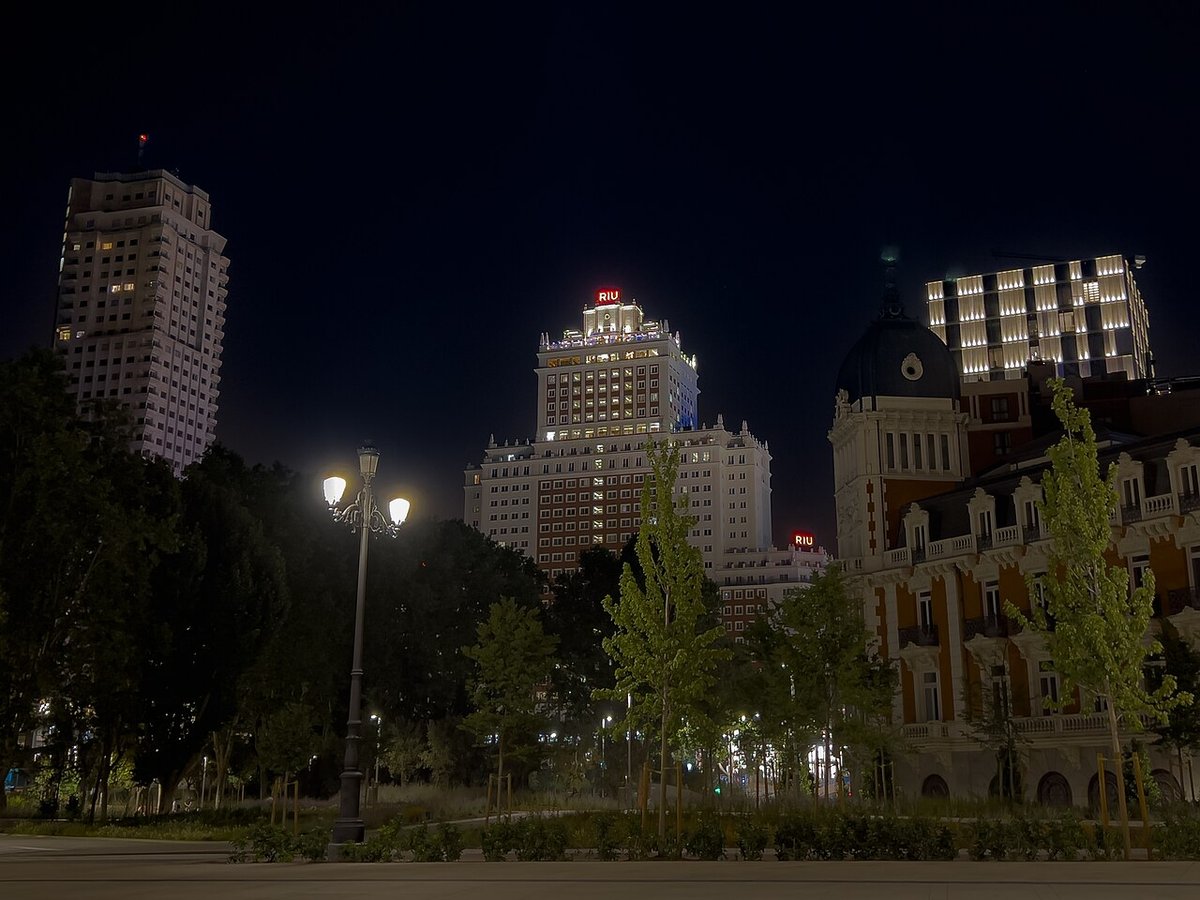

Community of Madrid: mountains, river plains, and villages one hour from Gran Vía
Sierra de Guadarrama: granite at 2,428 metres
Peñalara (2,428 m) tops the Guadarrama range, a National Park since 2013. Its glacial cirques — Laguna Grande, Laguna de los Pájaros — formed 18,000 years ago. On the mid-slopes, Scots pine forests cover 30,000 hectares between 1,200 and 1,800 metres. The Navacerrada pass (1,858 m) and the Cotos pass (1,830 m) are historic crossings between the two Castilian plateaux, now channelling access to ski stations and hiking routes.
Mountain villages: stone, livestock, and summer retreats
Buitrago del Lozoya retains an 11th-century walled enclosure with 16 towers — the only complete circuit in the Community of Madrid. Twenty kilometres away, Rascafría houses the El Paular monastery (1390), a Carthusian foundation until the 19th-century confiscations. La Hiruela (population 55) runs an open-air ethnographic museum that recreates a pre-industrial village with a flour mill and hollow-oak beehives. Patones de Arriba, emptied in the 1960s, was restored as a slate-built hamlet now hosting restaurants and pottery workshops.
The Tajuña valley and the overlooked southeast
The Tajuña valley, between Morata and Estremera, keeps olive groves and vineyards on gypsum soils protected under the DO Vinos de Madrid since 1990. Chinchón — an arcaded main square with 234 balconies — has distilled dry anise since the 17th century. Colmenar de Oreja, perched on a 60-metre bluff, quarries white limestone (piedra de Colmenar) used to build Madrid's Plaza Mayor and the Royal Palace.