Full Article
about Getafe
Industrial and university city; home to Cerro de los Ángeles, considered the geographic center of the peninsula.
Hide article Read full article
A city shaped by land and movement
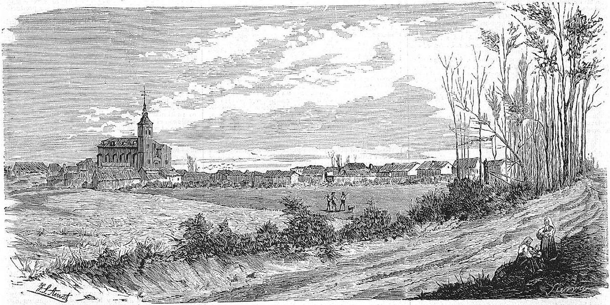
Getafe sits on the southern edge of Madrid’s urban expanse, on a flat plain that was, for centuries, farmland and a transit route toward Toledo. That past is still perceptible beneath its current form: a dense, practical city shaped by industry and academia. Its character comes from this layering.
You won’t find it in typical guides to the region. Its history, however, is long. Arriving by train, you see the evidence of its growth—first across fields, then around workshops, and finally into the residential neighborhoods that now define it. There are no grand palaces here. Instead, there is a parish church that only became a cathedral in the 1990s, a modest hill with outsized symbolic weight, and a university campus where they design aircraft.
A parish church turned cathedral
The building now known as the Cathedral of Santa María Magdalena began as a simple parish in 1326, when Getafe was a farming settlement under the Order of Santiago. Its expansion mirrors the town’s own. Chapels and a sacristy were added over the centuries, with the tower finished in 1770.
Its elevation to a cathedral came with the creation of the Diocese of Getafe in 1991. The choice was pragmatic: it is one of the largest churches built between the 16th and 18th centuries in the wider Madrid region, outside the capital itself. The Baroque façade, attributed to Pedro de la Torre, uses clear volumes and an octagonal tower to give presence to a single-nave structure.
Inside, the accumulation of time is visible. The main altarpiece has a Renaissance framework filled with later paintings, and the Calvary group is neoclassical. In a side chapel, a 16th-century recumbent Cristo yacente draws local devotion. Gravestones set into the floor name town officials who directed municipal funds toward the building—a record of its slow, communal construction.
The hill at the supposed centre
About three kilometres south of the city centre, the Cerro de los Ángeles rises from the plain. Its elevation is slight, but its significance is not: it was long considered the geographical centre of the Iberian Peninsula.
That belief led to the installation of a large monument to the Sacred Heart in 1919. The figure looks out over the open landscape of southern Madrid. While modern geographers place the precise centre a short distance away, the hill retains its symbolic role.
The site also holds traces of the Civil War. Remains of trenches and defensive positions are still discernible in the surrounding earth. Nearby lie the ruins of a Carmelite convent, destroyed in 1936. A walk here makes it clear this was once a front line.
A traditional romería usually ascends the hill each spring. The walk up from town takes about forty minutes, passing through newer districts before reaching the open space around the sanctuary.
From fields to factories and lecture halls
Getafe’s modern identity was forged in the 20th century. Large factories turned an agricultural town into an industrial one, and later, a specialized aeronautical sector took root. Parts for civil and military aircraft are still made here.
That technical tradition feeds directly into the Universidad Carlos III campus, which opened on former military land in the late 1980s. Its schools of engineering, law, and humanities give the city’s southern zone a distinct rhythm. When classes change, the squares fill. This isn’t a dormitory suburb; many residents live, work, and study here without daily recourse to central Madrid.
Food from Madrid’s southern tier
The cooking here follows the patterns of southern Madrid: substantial, traditional, and rooted in home kitchens. Cocido madrileño appears on many weekly menus.
Dishes closely associated with the capital’s older quarters, like gallinejas and entresijos (fried lamb offal), are also present. During the September fiestas, aniseed or cinnamon rosquillas are common. The municipal market remains active, with fish brought in from Mediterranean and Atlantic ports. It’s not as vast as Madrid’s major markets, but its daily trade underscores a self-sufficient local life.
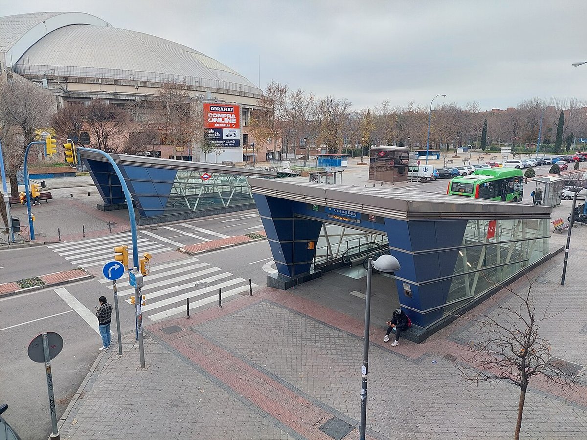
Moving through Getafe
Several Cercanías commuter lines connect Getafe to Madrid Atocha in roughly twenty minutes. The city also has direct access from the A-4 motorway.
The historic centre is compact and walkable. The cathedral and main square are minutes apart. To understand the city’s context, walk or take a local bus to the Cerro de los Ángeles.
For a longer walk, follow paths toward the Manzanares River in the direction of Perales del Río. There, the landscape opens up into something closer to what this entire area once was: plain, riverside trees, and old roads that predate the city.