Full Article
about Guadarrama
Tourist and summer town; starting point for climbing the Puerto de los Leones and exploring the sierra.
Hide article Read full article
A crossing shaped by geography
Guadarrama sits on the southern side of the mountain range that shares its name, right on a natural passage linking the Madrid plateau with the Segovian side beyond the peaks. That position as a crossing point explains much of its past. The Guadarrama river rises higher up, on the slopes near the mountain pass, then rushes down into the valley carrying sand and gravel from the sierra. The name itself is often traced back to the Arabic wad al‑raml, meaning something close to “river of sand”, a reminder of how common Arabic place names are in this part of what was once a medieval frontier.
For centuries, this route held strategic importance. Before it became closely tied to Madrid, Guadarrama functioned as a lookout point along the shifting border between Christian and Muslim territories. The road that crossed the pass, the predecessor of today’s route towards La Coruña, made the town a natural stopping place before the climb into the mountains.
From waypoint to summer retreat
The layout of Guadarrama still reflects its terrain. Streets slope down towards the river, and traditional houses are built from granite with pitched roofs suited to the mountain climate. The settlement consolidated its status as a town towards the end of the Middle Ages and the beginning of the early modern period, with municipal records generally placing its formal organisation in the early 16th century.
For a long time, the local economy remained modest. The soil was not especially productive, so livestock played a more significant role than farming. Seasonal flocks crossing the mountains and small herds of goats were part of everyday life.
Change came with infrastructure. In the 18th century, improvements were made to the route connecting Madrid with the north via the Guadarrama pass, increasing the flow of travellers. By the 19th and early 20th centuries, better roads and public transport into the sierra encouraged families from Madrid to spend summers here in search of cooler air. Many traditional houses were adapted into seasonal residences during this period, something still visible in parts of the town centre today.
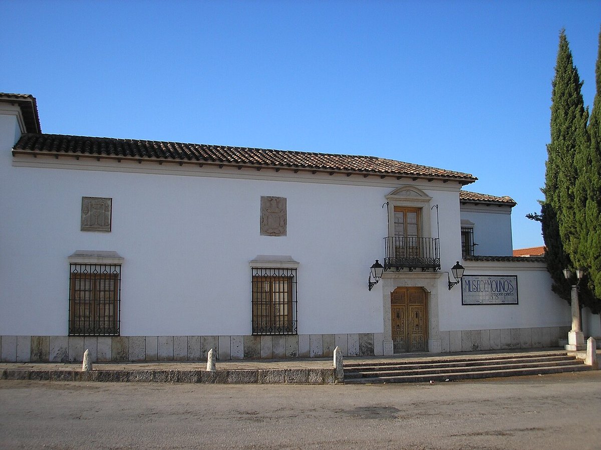
San Miguel Arcángel and its reconstruction
The parish church of San Miguel Arcángel stands in a central position within Guadarrama. Much of the current building dates from reconstruction after the Spanish Civil War. The earlier church, of early modern origin, suffered serious damage during the conflict.
Its rebuilding followed the typical post-war approach: simple volumes, brick construction, and a more slender bell tower than the original. Inside, the space is restrained, with a single nave and minimal decoration. Rather than focusing on individual artworks, attention tends to fall on the building itself and the visible contrast between surviving older elements and the sections rebuilt later.
From the steps leading up to the church, there is a clear view over the immediate valley. This area traditionally hosted a small medieval watchtower that monitored the route towards the pass. No recognisable structure remains, but the name has endured in local place names.
The roadside fountain
On the edge of the town centre, beside the historic route leading up to the pass, stands the Fuente de los Caños. Its design is straightforward: a granite wall fitted with several metal spouts and a basin below, which once also served animals.
Local tradition places its construction in the 18th century, during a period when the Crown promoted improvements along the route crossing the sierra. For a long time, it was a regular stopping point for travellers, carters and livestock making their way over the pass. Even now, it is common to see residents filling large water containers here, particularly at weekends.
Traces of the Civil War in the hills
The surrounding countryside still holds physical traces of the front line that ran through this part of the mountains during the Spanish Civil War. On some of the nearby hills, especially those facing the pass, remains of concrete fortifications, partially buried trenches and small defensive positions can still be seen.
They are not marked as an ოფიციal route, and many are half hidden among the pine trees. Walkers often come across them unexpectedly: moss-covered walls, narrow प्रवेश points, and firing slits oriented towards the road that climbs up to the pass.
Getting there and moving around
Guadarrama lies around 50 kilometres from Madrid, accessible via the A‑6 motorway. It can also be reached by interurban bus from the Moncloa interchange, one of the main transport hubs in the capital.
The town does not have its own Cercanías commuter rail station. The nearest ones are in Los Molinos and Cercedilla, from where the journey continues by road.
The town centre can be explored at a relaxed pace over the course of an afternoon. From Guadarrama, roads and paths lead up towards the mountain pass and into other parts of the sierra. In autumn, traffic tends to increase along the M‑505 and on access roads to the hills, coinciding with mushroom season, when many people head into the countryside.