Full Article
about Armiñon
Deep green, farmhouses, nearby mountains with trails and viewpoints.
Ocultar artículo Leer artículo completo
The church bell strikes eleven and the only other sound is a tractor turning soil in the distance. From the edge of Armiñón's single-lane main street, the view stretches across the Llanada Alavesa—a patchwork of cereal fields that rolls uninterrupted to the horizon, broken only by the faint grey line of the A-1 motorway reminding you that Vitoria-Gasteiz sits just 25 kilometres away.
At 567 metres above sea level, this farming hamlet of barely two hundred souls occupies that sweet spot in the Basque geography: high enough to catch the breeze that sweeps away summer heat, low enough to avoid the snow-drifts that block roads in the Sierra farther north. The altitude shows in the light—crisper than on the coast, sharpening the contrast between golden wheat stubble and the dark green of distant pine plantations.
Stone, Slate and the Slow Hours
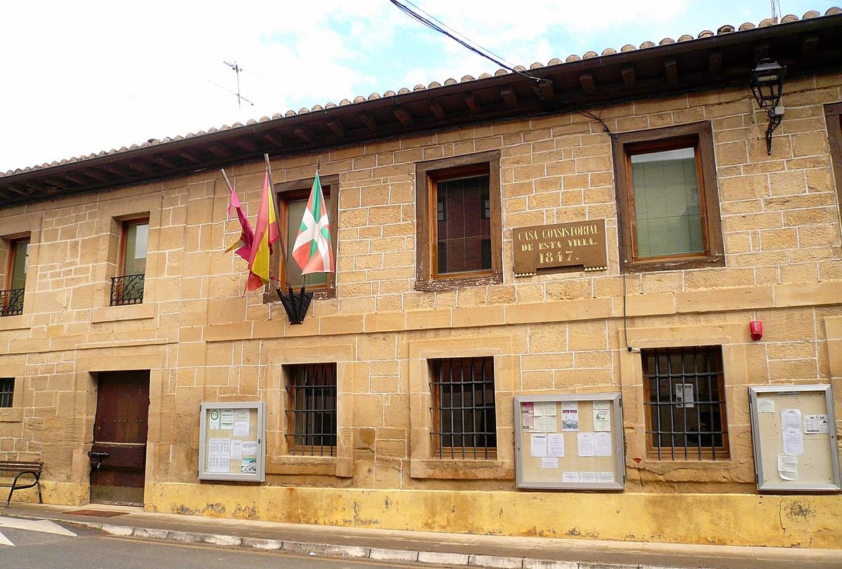
Armiñón won't keep monument-hunters busy. The fifteenth-century parish church of San Andrés anchors the settlement, its weathered sandstone tower the reference point for every country lane within a five-mile radius. Walk one block east and you hit the last house; one block west and you're facing open countryside. What the village does offer is the pleasure of masonry that hasn't been restored to death: houses roofed in the region's trademark blue-black slate, timber doors bleached silver by decades of sun, the occasional coat-of-arms carved by masons who never expected coach-loads of visitors.
Morning is the best time to notice the details. By 08:30 the bakery van has come and gone, leaving a faint scent of yesterday's bread drifting from the bar that doubles as the only shop. Metal shutters roll up with a rattle, revealing a window display of tinned tuna, tractor spark-plugs and local Idiazabal cheese cut to order. Order a cortado and you will be asked whether you want the milk hot or lukewarm—an everyday courtesy that reminds you this place still runs on personal memory, not service manuals.
Field Paths and False Summits
The real map of Armiñón is traced by its agricultural tracks. From the southern edge of the village a gravel lane climbs gently towards the low ridge that separates the municipality from neighbouring Salinillas de Añana. The gradient is forgiving—barely 60 metres over a kilometre—but enough to open up views back across the rooftops. In April the verges are studded with crimson poppies; by late June the same earth has turned to dust that coats your shoes the colour of pale sherry.
Carry on for twenty minutes and you reach a concrete water tank marked simply "Armiñón 2". Locals call this the mirador, though no sign advertises the fact. Stand here on a clear day and you can pick out the salt pans of Valle de Añana six kilometres away, their white terraces glinting like broken mirrors. Turn 180 degrees and the southern horizon is dominated by the Sierra de Toloño, the ridge that funnels Atlantic weather into Rioja vineyards. The contrast between the two views—one industrial-age, one medieval—explains why this corner of Álava feels quietly schizophrenic.
Cyclists appreciate the lack of traffic. The NA-3015 cuts through the village but carries only farm traffic and the occasional lost sat-nav follower. A loop eastwards towards Pobes adds 12 km of almost car-free riding through sunflower fields and past stone threshing circles that pre-date the combine harvester. Road-bike tyres are fine in summer; after October rain you'd be wiser on something fatter.
Lunch, or the Absence of It
Armiñón has no restaurant, no weekend gastro-bar, no elderly señora selling home-made chorizo from her porch. What it does have is proximity: five minutes by car brings you to the A-4027 and within ten kilometres you can choose between asadores in Nanclares de la Oca or the salt-worker canteen at Salinas de Añana, where a three-course menú del día costs €14 and the wine arrives in a glass tumbler. The upside is that nobody will try to sell you a "traditional Basque tasting experience" at tourist prices; the downside is that arriving after 15:00 means the kitchen has already mopped the floor.
Picnickers can improvise. The village fountain (follow the signs to "El Pozo") has potable water and a stone bench shaded by a walnut tree. Pair that with bread from Vitoria's Saturday market and a wedge of cheese from the co-op in nearby Ribabellosa and you have a lunch that costs less than the parking fee in Bilbao.
When the Weather Makes the Rules
Spring arrives late at this altitude—farmers often wait until mid-April to sow—but when it does the transformation is rapid. Within a fortnight the plateau turns from brown to an almost implausible green, the colour so saturated it looks filter-enhanced. By contrast, July and August can be brutal: temperatures touch 35 °C and the breeze that felt refreshing in May now carries dust that sticks to sunscreen. Walkers should start early; the sun drops quickly behind the ridge after 18:00, bringing relief and a photographer's light that turns stone walls honey-gold.
Autumn is the stealth season. Grape harvests in Rioja distract visitors southward, leaving Armiñón empty except for mushroom hunters who know the network of tracks through the Encinar de San Andrés. Morning mist pools in the valleys, sometimes lingering until 11:00 and giving the misleading impression of cold. By midday jackets are off and the only sound is the soft thud of chestnuts landing on corrugated roofs.
Winter is when altitude matters. Snow falls infrequently but frost is guaranteed from December through February; country lanes ice over and the village water supply occasionally freezes. Access remains possible—the main road is gritted—yet this is the one season when Armiñón feels genuinely isolated. Come prepared: the nearest petrol station is 14 km away in Lantarón, and mobile reception drops to a single bar when the fog rolls in.
The Salt Connection and the Crowd Dodge
Most travellers encounter Armiñón by accident, either heading to or from the medieval salt works at Añana, 12 km to the west. The salt pans pull 60,000 visitors a year, their wooden walkways and interpretation centre packaged into a tidy two-hour visit. Armiñón offers the antidote: no tickets, no audio guides, no coach park. Timing is straightforward—arrive before 11:00 or after 17:00 and you will have the lanes to yourself. Midday brings a brief flurry when French motor-homes use the village as a lunch stop en-route to Santiago, but by 13:30 silence reasserts itself.
How to Arrive Without Circling the Village Three Times
From Vitoria-Gasteiz take the N-1 south towards Miranda de Ebro, then exit at kilometre 334 sign-posted "Salinas de Añana/Armiñón". The CM-412 regional road twists through two short tunnels before depositing you on the plateau; turn right at the first roundabout and follow the local road for six kilometres. Public transport is possible but joyless: weekday buses run from Vitoria to Salinillas de Añana, leaving a 3 km walk along a verge that lacks pavement. Cycling the same route takes 45 minutes on a dedicated path that shadows the river Zadorra, a far pleasanter prospect.
Leave the car on the rough ground opposite the frontón (ball wall) rather than attempting to squeeze down Calle San Juan, which narrows to the width of a single donkey cart before you can say "hire-car excess". The village is small enough that nowhere lies more than four minutes' walk from this informal car park.
A Final Word of Moderate Warning
Armiñón will not change your life. It offers no epiphany, no Instagram moment that hasn't already been snapped by the farmer's daughter on her mobile. What it does provide is a pause—a place where the loudest noise is a blackbird claiming territory and the most urgent decision is whether to turn left towards the sunflower fields or right towards the ridge. Come with a pair of decent shoes, a bottle of water and an tolerance for the fact that rural Spain smells of manure in spring. Stay long enough to notice the way slate roofs turn violet at dusk and you will understand why some maps mark the village in the smallest font available: enough to find it, not enough to spoil it.