Full Article
about Lagran
Deep green, scattered farmhouses, nearby mountains with trails and lookouts.
Hide article Read full article
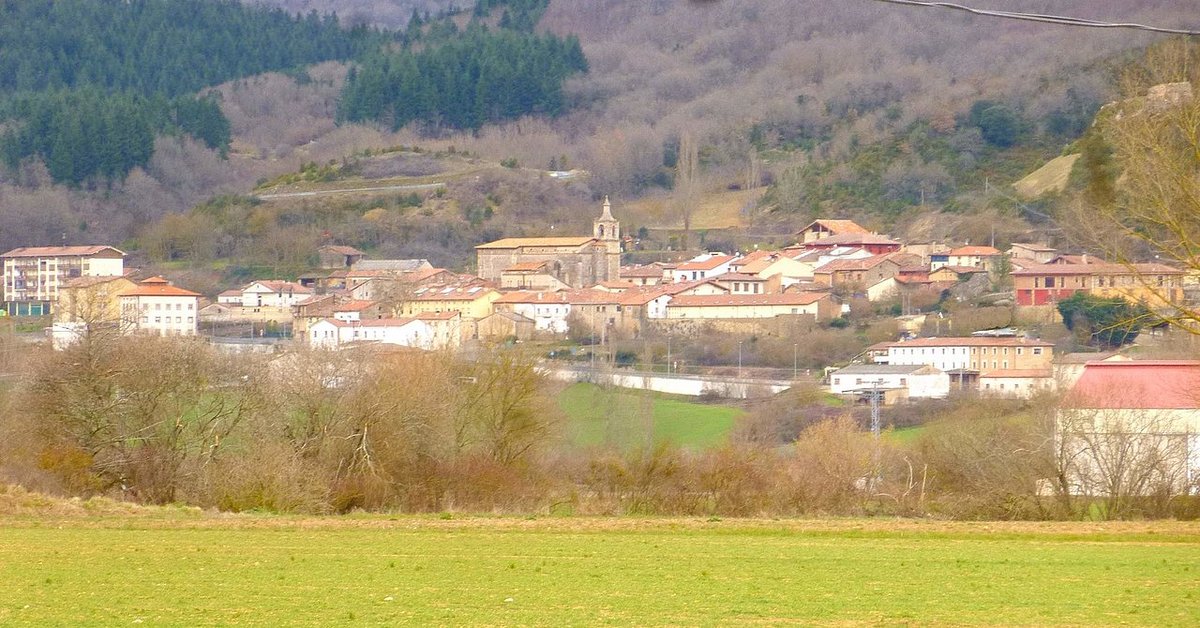
Where Lagrán Sits
Lagrán sits on the southern flank of the Sierra de Toloño, part of the Montaña Alavesa. This is a transitional zone, a geography of folds and slopes between the plains of Álava and the Ebro valley. At about 750 metres, the land is a working mosaic: cereal fields, patches of oak woodland, and the agricultural tracks that stitch it all together.
The village is compact, as are most in this part of Álava. Houses cluster around the church, following a few streets that adapt to the slope. The architecture is one of stone, tile, and large wooden doors built for utility—for storing tools or sheltering animals. You won’t find grand monuments here. The point is how the settlement fits into its terrain, not what stands out from it.
The Church and the Stonework
The parish church is dedicated to San Juan Bautista. The structure you see is essentially 16th century, though modified later. It’s a sober building of local stone, its tower still the highest point in the village. Inside, the Baroque altarpiece is modest in scale, proportionate to the size of the community that built it.
The surrounding streets are short and slightly irregular. Look at the masonry: the carefully cut ashlar stones at the corners and around doorways speak of a local tradition in working stone. Many façades retain their original wide doors and iron fittings, clear signs of their agricultural purpose.
The Edge of the Fields
The countryside begins where the last house ends, often marked by dry stone walls. These walls are a defining feature of the Montaña Alavesa, built to clear the land and hold the soil. Beyond them, the crops shift with the season, though cereals—wheat, barley—have long been the mainstay. Scattered oaks and low scrub break up the expanse of farmland, providing shelter and variation.
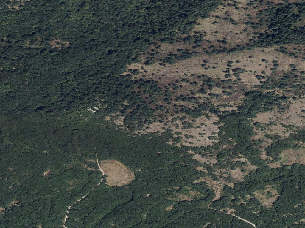
Paths into the Sierra
Lagrán’s relationship with the Sierra de Toloño is direct and practical. A network of farm tracks leads from the village edges toward the first slopes. You don’t need a long hike to grasp the lay of the land; a twenty-minute walk on one of these paths will show you how it’s organised.
The walking is generally straightforward, though the terrain is one of constant, gentle gradients. After rain, the earth tracks can be slippery. As you gain a little height, the view opens over the patterned fields and the scattered hamlets of the valley.
These same secondary roads are used by cyclists exploring the region. They connect Lagrán to neighbouring villages like Villaverde or Pipaón, but be prepared for steady climbs. The pace here is naturally unhurried.
Through the Year
Spring and autumn are when these paths are most walked. In spring, the oaks leaf out and the fields turn a sharp green. Autumn brings a quieter palette of ochres and rusts across the landscape.
Winter is noticeably colder here than on the plains below, with a wind that comes down from the sierra. Summer sun is intense, especially on exposed tracks around midday; an early start or late finish is more sensible then.
A Note on Visiting
The Montaña Alavesa is a spacious region where villages are small and distances between them meaningful. Having a car is practical if you intend to explore beyond a single point.
Lagrán itself is small—you can walk its streets in under an hour. It functions better as a quiet base for walking or for reaching other points in the comarca than as a destination for extended sightseeing. Sheep farming is still part of the daily rhythm here, a continuity that shapes both the land and the atmosphere.