Full Article
about Agurain (Salvatierra)
Deep green, farmhouses and nearby mountains with trails and viewpoints.
Hide article Read full article
A town shaped by its position
Agurain, known in Spanish as Salvatierra, sits clearly within the Llanada Alavesa: a small walled settlement surrounded by cereal fields, placed along a natural route between the Meseta and the valleys that lead into the interior of Euskadi. That location explains much of its past. For centuries it functioned as both a stopping point and a place of control over movement through the area, as well as a market town serving nearby villages.
That commercial role still comes into focus on Tuesday mornings, when the Plaza de San Juan shifts in character. Stalls appear under the arcades, selling vegetables, cheese, clothing or tools, and the historic centre resumes a rhythm that has been repeated for generations. The weekly market tradition is usually linked to a medieval privilege granted by Alfonso X in the 13th century. What is sold has changed over time, but the underlying idea has not: direct exchange between the town and the surrounding countryside.
Stone and memory inside the walls
The layout of the old town is closely tied to a specific event, the great fire of 1564. Much of the settlement was destroyed, forcing a widespread rebuilding. From that period comes much of the current appearance: narrow streets lined with tall, aligned houses, designed both to make the most of limited space within the walls and to strengthen defence.
The walled enclosure can still be traced with relative clarity. Sections of wall, towers and a number of gateways remain, recalling Agurain’s role as a fortified town within the network of settlements in Álava. Walking along this perimeter helps make sense of how life was organised inside a closed space that had to protect both people and the goods passing through.
Inside the current town hall stands a much older structure, the Romanesque hermitage of San Martín from the 12th century. It is one of the few elements that predate the fire. The apse preserves carved corbels with small scenes, including animals and hunting motifs, details that require a close look to appreciate fully.
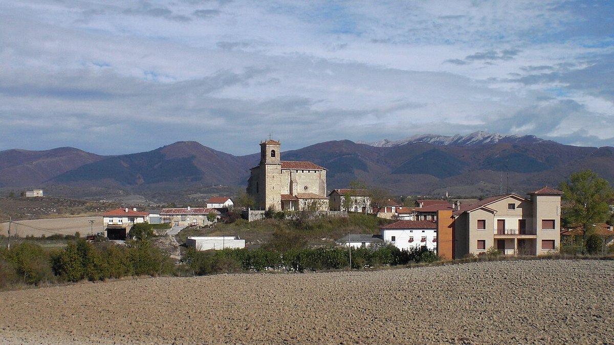
Opposite the square rises the church of San Juan. Much of the building reflects late medieval reforms and later additions. Its presence has defined the centre of the town for centuries and also explains the unusual breadth of the square, one of the most open spaces within what is otherwise a compact medieval layout.
Before the medieval town
Just over a kilometre from the urban centre stands the dolmen of Sorginetxe. This megalithic monument rises in isolation among cultivated fields, its large stone slabs still upright. It is generally dated to the end of the Neolithic or the beginning of the Bronze Age.
The name Sorginetxe, which in Basque means “house of the witches”, belongs to a much later layer of interpretation. For centuries these monuments were explained through popular imagination, linked to supernatural beings or to stories passed down by shepherds.
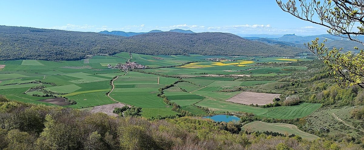
To the south of Agurain begins the Sierra de Entzia, one of the best-known pastoral areas in Álava. In summer, the high pastures continue to be used for livestock. From the Opakua pass, the Llanada appears as an almost continuous stretch of cultivated land dotted with small villages.
Life under the arcades
The stone arcades that run along several streets in the historic centre are known locally as olbeas. They act as an extension of the street itself, offering shelter from cold and rain while also serving as spaces for trade.
Their role becomes especially visible on market days. Among the stalls are talos prepared on the spot, simple maize flatbreads often eaten with cured meats, alongside products from the surrounding area. These include cheese made from the milk of latxa sheep, honey from nearby hills, and vegetables grown across the Llanada.
In one of the central streets stands the convent of the Poor Clares, founded in the 17th century. The community continues the tradition of selling sweets through the convent’s revolving hatch, a practice that still survives in some monasteries.
Festivals through the year
Agurain maintains several celebrations linked to the traditional calendar. In autumn, a fair brings together livestock, agricultural produce and crafts, continuing the legacy of older commercial gatherings that structured economic life in the region.
The feast of San Juan, at the end of June, centres on fire. Bonfires are lit in different parts of the town, and people jump over the embers in a custom shared by many places across the north.
In winter, carnival keeps a distinctly local character. Groups and floats are often built using tractors or decorated trailers, and the humour draws on recognisable scenes from everyday life in the town.
Moving through Agurain
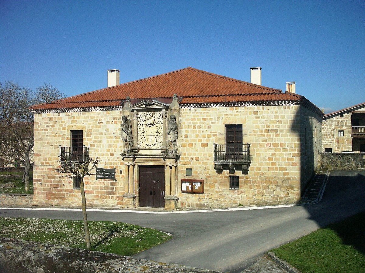
The historic centre can be explored easily on foot. Streets such as Mayor, Zapatari and Carnicería concentrate many of the older houses, several of them with stone coats of arms on their façades.
It is best to leave the car outside the walled area and continue on foot. From there, paths also lead out towards the surrounding agricultural landscape, reinforcing the connection between the town and the fields that have long shaped its life.