Full Article
about Iruraiz-Gauna
Deep green, farmhouses and nearby mountains with trails and viewpoints.
Hide article Read full article
A municipality spread across the Llanada Alavesa
Iruraiz-Gauna sits in the Llanada Alavesa, part of the Cuadrilla de Salvatierra in Álava. The landscape sets the tone from the outset. Wide cereal fields stretch out in long plots, straight agricultural tracks cut across them, and the horizon remains largely uninterrupted. It is a place defined by openness.
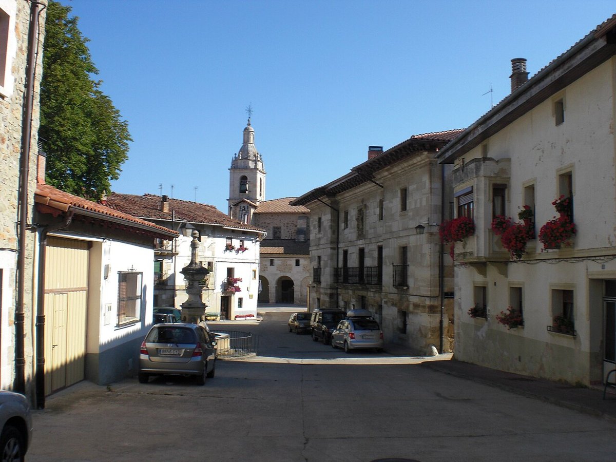
That geography shapes how people live here. Instead of a single compact town, Iruraiz-Gauna consists of several small villages scattered across the plain. Each one forms its own centre, typically organised around a church and a handful of streets. The distance between them is part of the experience, and movement between villages reveals how the territory fits together.
There are no grand monuments that dominate the skyline, yet history is present in quieter ways. In this part of Álava, it often appears in small details: a carved stone doorway, a coat of arms on a façade, or the position of a church that has anchored village life for centuries.
Churches as the centre of each village
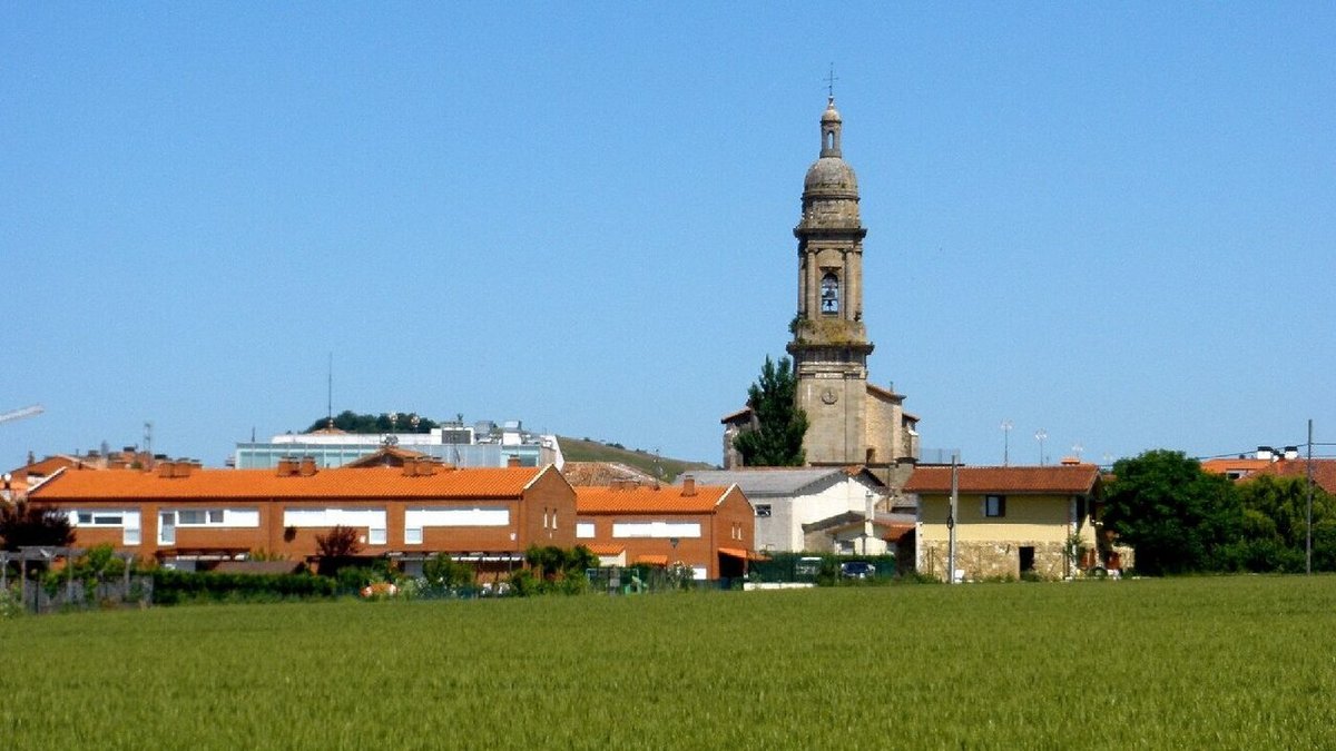
In Iruraiz-Gauna, the church still provides the main point of reference in each settlement. Bell towers rise above roofs and fields, often visible from a distance long before the rest of the village comes into view.
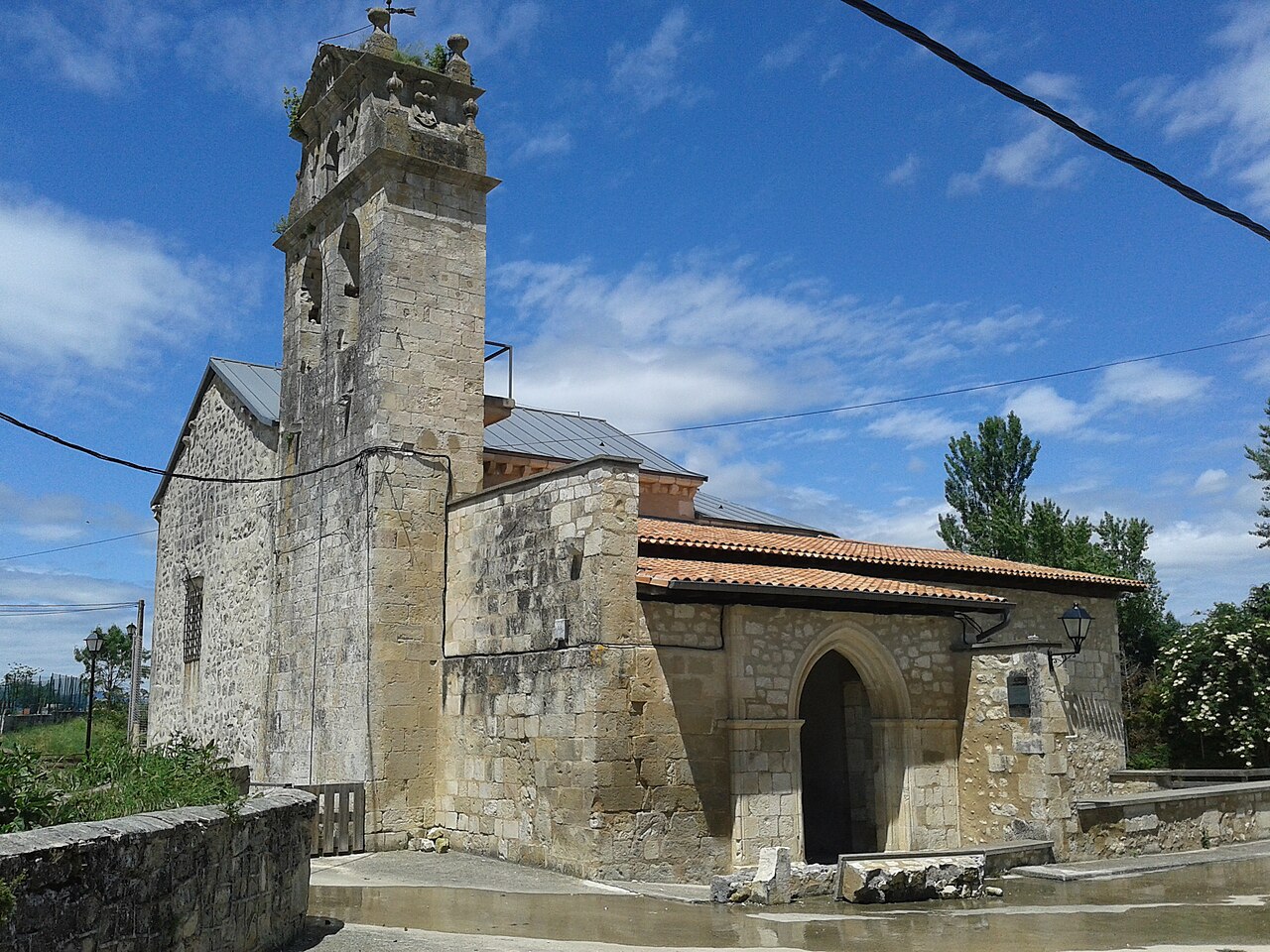
In Iruraiz, the church of San Martín appears to date back to the 16th century, although it has undergone later alterations. Its appearance reflects the restraint typical of rural parishes in Álava. Stone walls, a compact volume and a single nave define the structure. The building itself is not elaborate, but its position matters. It stands slightly elevated in relation to the nearby houses, giving it a quiet prominence within the village.
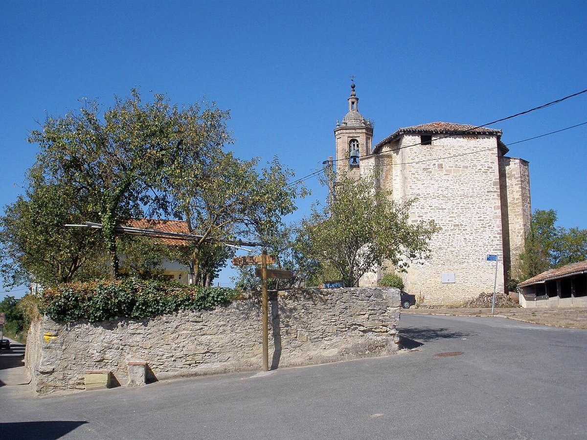
Gauna presents a similar pattern with the church of San Esteban. The temple occupies the centre of the settlement, and its presence is noticeable even before entering the village. Decoration is minimal. The architecture prioritises function rather than display, which reinforces the practical character of the area.
In Monasterioguren, attention shifts towards the houses rather than a single building. Some façades retain stone coats of arms that hint at past links with local lineages. The name of the village suggests a monastic origin, although today it remains small and calm, surrounded by farmland.
Walking the tracks between villages
The most direct way to understand Iruraiz-Gauna is to move between its villages. A network of agricultural tracks connects them, often made of compacted earth or gravel. These routes cross cereal fields and pass through occasional patches of trees, offering a clear sense of how the land is used.
These are not paths designed purely for leisure. They serve everyday agricultural work, so encounters with tractors or other machinery are common, especially during sowing and harvest periods. Navigation can also be less straightforward than it appears. Many junctions look similar, and carrying a map or GPS helps avoid confusion.
The interest lies less in covering long distances and more in observing the landscape. Long plots extend across the plain, isolated farm buildings appear here and there, and church towers punctuate the horizon. On clear days, several villages of the Llanada can be seen at once, reinforcing the sense of openness that defines the area.
A quiet stop near Salvatierra and Vitoria-Gasteiz
Iruraiz-Gauna lies relatively close to Salvatierra, also known as Agurain, and to Vitoria-Gasteiz. That proximity makes it easy to include as part of a wider day exploring the region. The contrast is noticeable. Here, the pace slows considerably, and the villages consist of just a few streets.
Public transport options are limited, so most visits happen by car. Moving between the different villages within the municipality is straightforward in that way, and it is common to combine a visit with other settlements across the Llanada Alavesa.
Small details and practical considerations
A quick walk along the main streets can give the impression that there is little to see, but the interest lies in paying attention to smaller elements. Stone doorways, coats of arms on façades and construction details in older houses reveal layers of local history that are easy to overlook at first glance.
The openness of the landscape also has practical consequences. Wind is often noticeable across the plain, and in summer the sun can feel intense due to the lack of shade outside the built-up areas. Anyone walking along the agricultural tracks benefits from carrying water and some protection against the wind.
Parking requires a bit of care. Access points to fields and track entrances must remain clear, even if the surroundings appear quiet. These routes are working spaces, and agricultural vehicles need room to manoeuvre.
How long to spend and when to go
Iruraiz and Gauna can be explored at a relaxed pace in one or two hours, with time to look into one or two additional villages within the municipality. A longer visit allows for a broader route across the Llanada, perhaps ending in Salvatierra or Vitoria-Gasteiz, where the landscape shifts completely to an urban setting.
Light plays an important role in how the plain is perceived. Late afternoon tends to bring out more texture in the fields, and church towers stand out clearly against the horizon.
Spring and autumn are generally the most comfortable seasons for walking in the area. The colours of the fields change, and temperatures make it easier to spend time outdoors. Summer visits are best planned to avoid the middle of the day. Rain can soften the agricultural tracks, which sometimes makes walking less comfortable, a common feature of cultivated land in the Llanada.