Full Article
about Iruña Oka (Iruña de Oca)
Deep green, farmhouses, nearby mountains with trails and viewpoints.
Hide article Read full article
The sound of the Oca at seven
The bells from the church in Trespuentes ring twice, then stop. Mist hangs between the holm oaks, blurring the line where the field ends and the sky begins. Down by the three-arched bridge, the Oca river moves with a low, consistent murmur over rounded stones. A van crosses the narrow stone roadway, its tires thumping softly on the uneven surface. This is Iruña Oka before the day properly starts, when the air smells of damp earth and cut grass from yesterday’s work.
A landscape of muted shifts
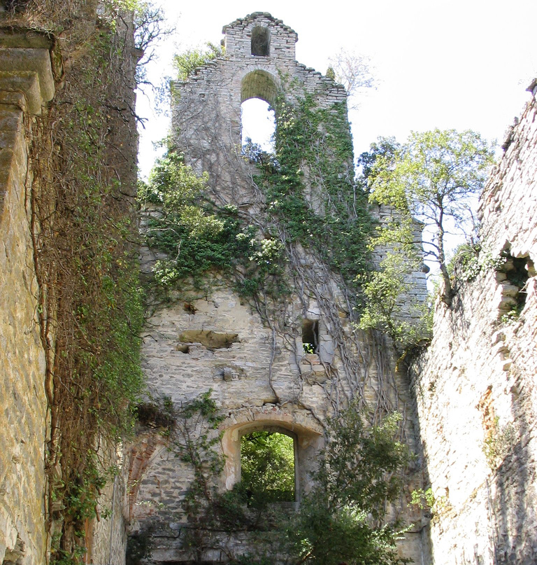
There are no sharp edges here in the Llanada Alavesa. The land rolls in long, gentle waves of cereal fields, broken by patches of dark holm oak and the occasional kitchen garden fenced with wire. In autumn, fog settles into the valleys for days, swallowing the bell towers of Víllodas and Pobes until they look like islands. The church of San Andrés in Trespuentes is built from a pale, almost blond stone. If you go inside around four, the light from the high windows hits the altarpiece directly, warming the gold leaf until it glows.
Walking paths connect the villages without much ceremony. They follow field boundaries and dry streambeds, wide enough for a tractor. You’ll likely meet one, or someone walking a dog at a pace that suggests no particular destination. In spring, the new wheat is a green so vivid it seems to vibrate. This is also the season for pochas, the local beans stewed until creamy. Bring a jacket if you come in May; the sun is warm at noon, but by five a chill rises from the river.
The bridge is not a monument
People use it to get milk, or to go to work. The bridge at Trespuentes has three arches that don’t quite match—the central one is broader, older. Its stone parapet is worn smooth in places. From its crest, a dirt path follows the Oca downstream. It’s flanked by willows and thick brambles that rustle even without wind. The water sound is constant here, a white noise that drowns out the distant highway. In late summer, mosquitoes gather near the riverbanks at dusk.
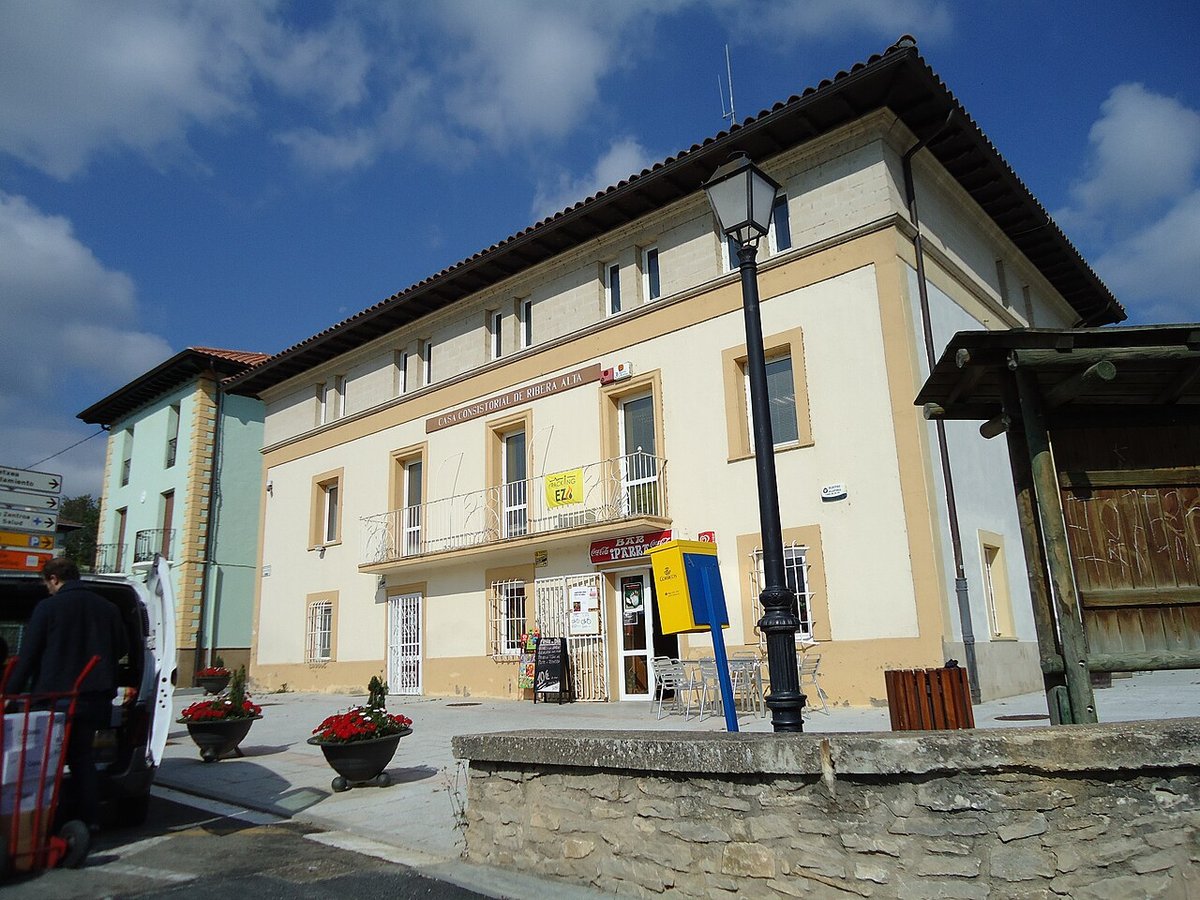
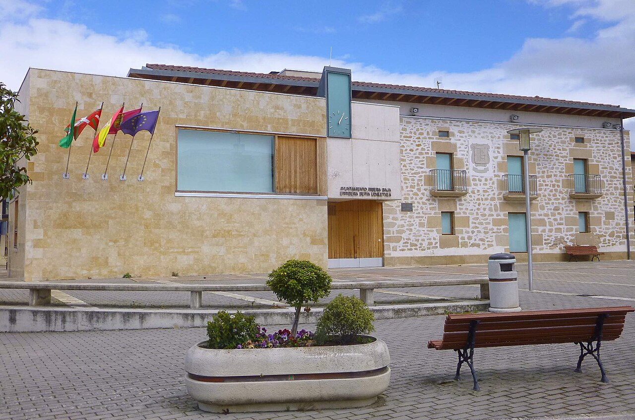
Most daily life happens in Nanclares de Oca, a few minutes drive away. On market days, vans park haphazardly around the square, tailgates open to display potatoes, lettuces, jars of honey. The talk is in Basque and Spanish, mixed.
Salt on the air
Take the road south from Trespuentes toward Añana. After about ten minutes, you’ll notice a change. The fields give way to scrubby hillsides. The air feels drier, and if the wind is right, there’s a faint mineral tang—salt.
The salt flats appear abruptly: thousands of white terraces carved into the valley slope like a vast, crumbling staircase. They are working structures, not a museum. Wooden channels still carry brine from springs to evaporation pans. Walking the paths that skirt the valley offers a view of the entire geometric puzzle. There is little shade. In July, the reflected heat from the salt pans is intense; go early or late, and take water.
When the rhythm changes
August transforms Trespuentes. Families return for holidays, filling houses that stand empty most of the year. Voices echo in the square until late, and plastic chairs appear outside front doors. It’s sociable, loud.
For quiet, come between November and March. Nights are long and dark. By seven in the evening, shutters are closed. What you hear then is the river again, and sometimes foxes in the oak woods. Mornings often start with fog that burns off by ten, leaving behind a clear, thin light that shows every crack in the bark of an old tree. That light feels specific to this valley. It’s what stays with you after you’ve crossed back over the bridge.