Full Article
about Aulesti (Murélaga)
Valleys and hamlets a short distance from Bilbao, with a strong local life.
Hide article Read full article
A valley shaped by scattered living
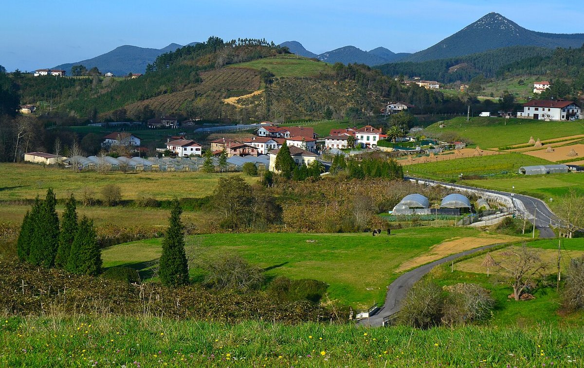
Aulesti sits inland in Lea‑Artibai, among damp hills and meadows that rarely lose their green. Settlement here never fully gathered into a single centre. The municipality spreads across farmhouses and small clusters that follow the logic of agricultural work. Tourism in Aulesti does not revolve around major monuments. It centres on understanding how this inhabited landscape is organised.
The Cantabrian Sea influences the climate more than the view. The coast lies relatively close, yet the character is that of an inland valley. Dirt tracks, paths between fields and gentle slopes have linked the farmhouses for centuries. Many of those routes still serve the same purpose today.
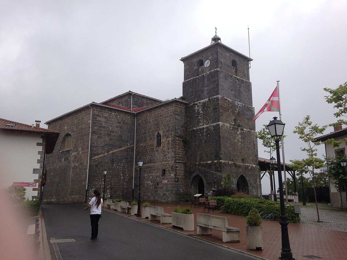
San Pedro and the small village core
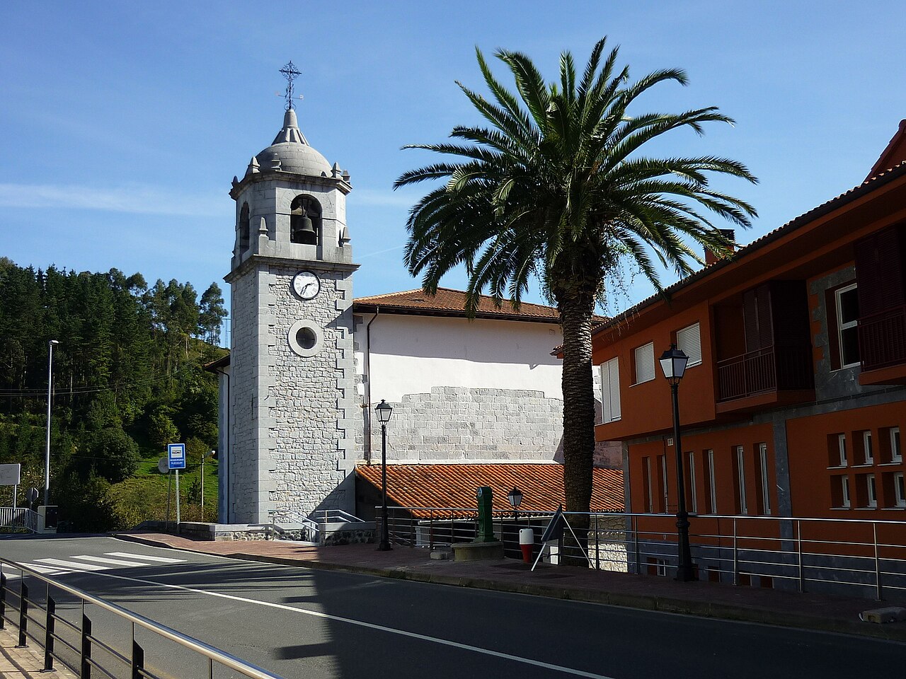
The centre is easy to spot thanks to the church of San Pedro. The building dates from the 16th century and later alterations were added, which is common in rural parishes across Bizkaia. It is not a monumental church, though its position explains how the small core developed around it.
A few streets and buildings cluster here more tightly than elsewhere in the municipality. The open space in front of the church acts as a meeting point. Very close by stands the frontón, the traditional Basque pelota court, still part of everyday life in the village.
Nearby houses keep features of traditional architecture. Some display wooden balconies facing south. This orientation helped shield homes from the damp northern wind and made better use of the light.
Farmhouses and meadows on the slopes of Lea‑Artibai
Once beyond the centre, the landscape opens quickly. The valley becomes clearer from paths that climb gently along the slopes. From there, you see meadows edged by hedges, small wooded patches and farmhouses set apart from one another.
This dispersed pattern goes back centuries. Each farmhouse organised its own cultivated land, grazing areas and access to water. The result is a fragmented yet coherent territory where almost every house maintains a direct link with the land around it.
At certain times of day the valley grows very quiet. Distant tractors, an occasional animal or a car on a local road are often the only sounds.
Rural paths still in use
Many of the paths that cross Aulesti were not created for leisure walking. They are agricultural access routes that connect meadows, farmhouses and nearby low hills.
Walking along them offers a clear sense of the terrain. Short climbs and constant descents shape the routes. There are no dramatic gradients, but the ground is far from flat. The surface stays damp for much of the year.
Signage can be limited at some junctions. It helps to use a map or follow clear routes starting from the village centre. Encounters with machinery or moving livestock are normal. These paths remain part of daily work here.
Before setting out around Aulesti
Aulesti rewards a slow pace. Distances look small on a map, yet slopes and ground conditions can extend a walk.
Footwear matters. Wet grass and dirt tracks can be slippery. Fog is also common, even on days that begin clear. When it rolls in, shorter routes and well-defined paths are the sensible choice.
Access points to farmhouses deserve attention. Some tracks end within private property. If a route clearly passes through an active farm, turning back is the prudent option.
When to visit
Spring often shows the valley at its most active. Meadows have been recently worked and paths remain passable, though moisture is still present.
Autumn suits the landscape as well. Nearby woods change colour and low fog frequently settles across the valley.
Winter brings very grey days. Walking is still possible, but it calls for suitable clothing and shorter outings. In summer the green persists, although some afternoon hours can feel warmer in open areas.
Getting there and moving around
Most visitors arrive by road from Gernika‑Lumo or from the Lea‑Artibai coast. These are short drives along regional roads with bends and changes in elevation.
Once in the village, it makes sense to leave the car near the centre and continue on foot. This approach reveals how the paths link meadows and farmhouses, which is ultimately the key to reading the landscape of Aulesti.