Full Article
about Gizaburuaga (Guizaburuaga)
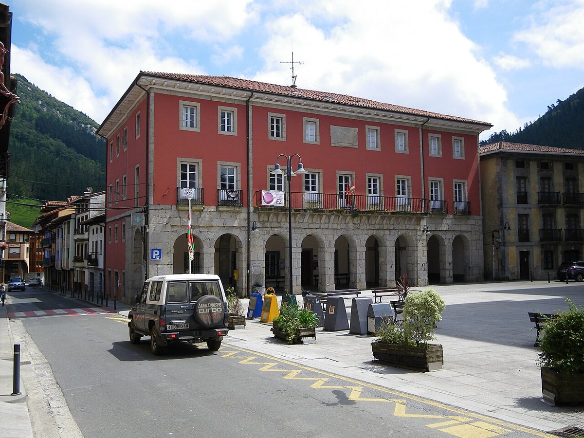
Valleys and hamlets a stone’s throw from Bilbao, buzzing with local life.
Hide article Read full article
A valley that explains itself
Gizaburuaga sits in the Lea-Artibai area of Bizkaia, in the Basque Country, and it makes more sense on the ground than on a map. The valley is narrow and damp, with slopes covered by meadows and small patches of woodland. That terrain has shaped how people live here. Homes are not gathered into a single town but spread out as caseríos, traditional Basque farmhouses, scattered across the hillsides. A small centre has formed along the road that runs through the valley, but most of the municipality remains dispersed.
This layout is not accidental. It reflects a way of life closely tied to the land, where each household is linked to its own fields and pastures. The result is a landscape that feels structured without being formal, where habitation and agriculture blend into one continuous pattern.
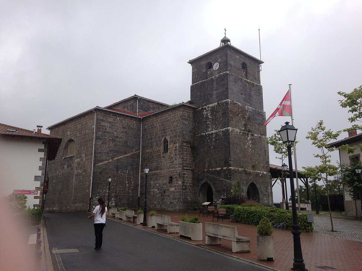
San Miguel and the small centre
At the heart of that modest centre stands the parish church of San Miguel. The building dates back to the 16th century, with later alterations, likely in the 18th century. This kind of evolution is common among rural churches in Bizkaia, where structures were adapted over time as needs changed.
The church itself is restrained in appearance. Its stone façade has little ornamentation, in keeping with other churches in the area. It does not aim to impress through decoration, but rather through its presence and continuity.
What matters most is its role. For centuries, San Miguel served as a meeting point for residents living in the scattered caseríos across the valley. Around it stand a handful of older houses, forming the closest thing Gizaburuaga has to a central hub. The BI-3631 road passes through here and still acts as the main axis of the municipality, connecting its different parts.
A landscape of scattered farmhouses
Beyond this small centre, Gizaburuaga unfolds across the slopes. The caseríos are spread out, often separated by fields and hedges. Many retain their traditional features: stone walls, pitched roofs and orientations designed to make the most of available light while offering protection from the damp Atlantic climate.
The visual rhythm of the valley comes from its enclosed meadows, lines of hedgerows and clusters of woodland. It is not a place defined by monuments or dramatic landmarks. Instead, it reflects a consistent relationship between people and land.
Agriculture here has historically been small-scale, combined with livestock and family gardens. This mix explains why homes stand apart rather than grouped together. Each one is tied to its own working land, reinforcing a pattern where daily life and agricultural activity happen side by side.
Between inland calm and the coast
Although Gizaburuaga feels distinctly rural, the coast is not far away. A short drive leads to seaside towns such as Lekeitio and Ondarroa. There, the landscape shifts noticeably. Fishing ports, short estuaries and cliffs dropping straight into the Cantabrian Sea replace the enclosed valley.
This contrast shapes how people experience the area. It is common to spend time inland and then head towards the coast later in the day, moving between two very different environments within a relatively small distance. The valley offers quiet continuity, while the coast brings a more open and maritime setting.
Moving through the valley
The network of roads and tracks that cross Gizaburuaga makes it possible to explore on foot or by bicycle. These routes were not created with visitors in mind. They developed to connect farmhouses and fields, so signposting is not always clear.
The terrain is not extreme, but it is rarely flat. The ground rises and falls constantly, and even short distances can involve a fair amount of elevation change. Anyone walking through the area will notice this quickly, as the slopes accumulate over time.
Despite this, the scale of the valley keeps everything relatively close. Movement feels gradual rather than abrupt, shaped by the natural contours rather than by any planned layout.
A small and still agricultural place
Gizaburuaga is a very small municipality, with just over a hundred residents. That scale defines the atmosphere. There are no major monuments or cultural facilities designed for tourism. The interest lies elsewhere, in observing how a rural valley in northern Bizkaia continues to function.
Agriculture and livestock farming still play a central role in maintaining the landscape. Fields are not decorative; they are part of everyday life. Because of this, visitors are expected to move with a degree of discretion, respecting paths and private land.
This is not a place that presents itself as a destination with attractions to tick off. It is better understood as a working environment that happens to be accessible.
Practical notes for visiting
The climate is humid for much of the year. Fog appears frequently in autumn and winter, often settling in the valley and reducing visibility on the roads. Conditions can change quickly, so awareness of the weather is useful when travelling through the area.
Footwear suited to muddy ground is a sensible choice for anyone planning to walk along rural tracks. Surfaces can be soft, especially after rain, which is common in this part of the Basque Country.
Distances on a map may look short, but the curves of the roads and the shape of the terrain tend to extend journey times. Travel here is less direct than it might first appear.
Spring and early autumn are generally the most comfortable times to explore the valley. Meadows are green and temperatures remain mild. In summer, activity shifts more towards the nearby coast, while Gizaburuaga keeps its steady and quiet rhythm.
The appeal of the place does not depend on highlights or landmarks. It comes from paying attention to how the valley is organised, how people have adapted to it, and how that relationship continues today.