Full Article
about Irura
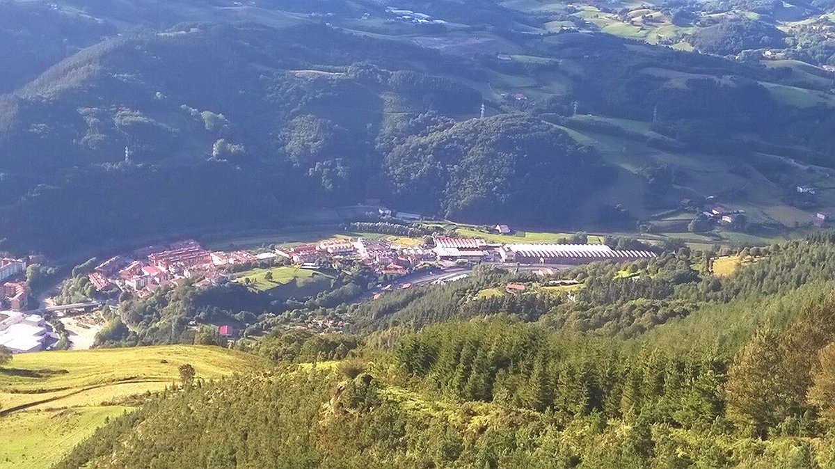
Deep green, farmhouses and nearby mountains with trails and lookouts.
Hide article Read full article
By mid-morning, when the traffic on the nearby road eases off a little, a different set of sounds takes over in Irura. A shutter bangs open, the Oria river murmurs below, and a dog barks from a nearby caserío, the traditional Basque farmhouse. The church of San Martín stands close to the centre, its stone slightly darkened by the damp that often settles in the valley. When the sky is overcast, something quite common in Tolosaldea, the façade turns a flat grey that shifts noticeably as soon as a bit of sun breaks through.
Irura sits in the Tolosaldea area, around eight kilometres from Tolosa. It is a small municipality today, though well connected. Both the road and the railway pass nearby, and many residents travel daily to Tolosa or Donostia. Even so, stepping just a couple of streets away from the main axis changes the pace. Older caseríos appear, vegetable plots sit behind houses, and paths lead out towards the meadows at the bottom of the valley.
Around the Church
The central streets are few and easy to walk. Some slope gently down towards the river, while others run between houses that combine recent renovations with older stone and timber structures. Several façades still show wrought-iron balconies and wide eaves designed to keep off the rain.
The church of San Martín remains one of the most recognisable points in the village. Like many rural churches in Gipuzkoa, it has been altered over time. Inside, the light is usually dim, entering through narrow windows. The atmosphere shifts depending on the hour: in the morning it feels cold and still; by the afternoon the stone seems to take on a warmer tone.
Around it, the village keeps a compact scale where everything is close at hand. There is a small square, a few benches to sit for a while, and short streets that quickly give way to open countryside.
The Oria and the Valley Paths
The Oria river runs alongside Irura, marking the floor of the valley. It is not a dramatic river, but it has a steady presence. In winter it flows more strongly, often carrying leaves and branches; in summer it becomes calmer, and the banks fill with tall grass.
A well-used path runs along the river, part of a route that links several towns in the area. From Irura, it is possible to head towards Tolosa on a fairly flat walk, or in the opposite direction towards Anoeta and Villabona. These are straightforward routes without major climbs, used daily by many local people.
Moving away from the valley’s main line, agricultural tracks appear between meadows and caseríos. In spring, the grass grows quickly and the green becomes intense. After several days of rain, the mud can make walking more difficult, something worth keeping in mind if footwear is light.
Farmhouses and the Surrounding Landscape
There are still quite a few scattered caseríos around the village. Some continue with agricultural or livestock activity, while others have been converted into homes. From certain paths, gentle slopes can be seen enclosing the valley, covered with meadows, small woods and the occasional apple orchard.
It is a landscape typical of Gipuzkoa. Small plots are divided by hedges or low stone walls, reddish roofs stand out, and in winter smoke rises from some chimneys. It is not dramatic in the conventional sense, but it reflects a close link between everyday life and the surrounding land that defines the area well.
Local Food Traditions
In Tolosaldea, cooking remains closely tied to local produce. Many households still prepare traditional dishes from the area. Alubias de Tolosa, a type of bean associated with the nearby town, are common when the weather turns cold. There is also meat from caseríos, cider produced in the surrounding area, and sheep’s cheese from nearby mountains.
These dishes do not depend on special occasions to appear on the table. Even so, certain local festivities, such as those held around San Martín in November, often bring neighbours together for shared meals where these traditional foods take centre stage.
When to Visit and Practical Notes
Irura can be explored quickly. In about an hour, it is possible to walk through the centre, head down to the river and return. If the plan is to follow the valley paths or cycle along the Oria route, it is worth allowing more time.
One practical detail stands out. After several days of rain, which is quite common here, dirt paths become slippery and mud sticks easily to shoes. For walking, it helps to have footwear with some grip.
Spring and early autumn are usually pleasant times to explore the area. Summer is rarely extreme, though at midday the sun falls directly into the valley and takes some of the appeal out of walking. Early in the morning or later in the afternoon, the air moves a little more, and the village regains the quiet calm it still holds.


