Full Article
about Maruri-Jatabe (Maruri)
Valleys and hamlets a stone’s throw from Bilbao, buzzing with local life.
Hide article Read full article
A map explains the layout
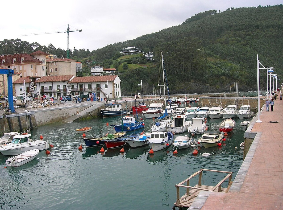
Maruri-Jatabe sits in western Uribe Kosta, roughly twenty kilometres from Bilbao. Its geography is transitional, neither fully coastal nor entirely inland, which explains its dispersed structure. You won’t find a traditional village centre here.
The municipality is a collection of small neighbourhoods—Maruri, Jatabe, and others—separated by farmland and connected by narrow roads. This isn’t suburban sprawl; it’s the result of a longstanding settlement pattern in Bizkaia, based on the caserío, or traditional farmhouse. Life has long been organised around these individual holdings rather than a central plaza.
Two buildings as reference points
In the neighbourhood of Maruri, the church of San Martín de Tours occupies a raised position. This is typical in the Basque countryside: the church served as both a place of worship and a community anchor, its elevated site making it visible across the scattered farmsteads. It provided a focal point where none naturally existed.
The hermitage of San Pedro, in Jatabe, is smaller and architecturally simpler. Its significance was social, marking the rhythms of local feast days and gatherings for the immediate neighbourhood. These two buildings illustrate how the municipality developed: not around one core, but through several small, religiously-defined hubs.
The landscape along the connecting roads
To understand Maruri-Jatabe, you walk or cycle the lanes that link its parts. The character is in the details: stone farmhouses with timber details, meadows enclosed by low walls, working agricultural plots. This is a lived-in landscape, not a curated one.
There is no single marked route. The usual way is to follow local roads between neighbourhoods, detouring onto farm tracks where possible. These paths show how the land is divided and used. Progress is slow; the roads curve and roll constantly. Be prepared for shared use—tractors and farm machinery have priority here.
Weather directly shapes the experience. Rain is frequent, and many unpaved tracks can be muddy, especially after wet spells. Suitable footwear matters more than covering distance. What you notice is the consistency of the pattern: farmhouses, fields, connecting lanes, repeated across the terrain.
Time and pace
A visit here is measured in hours, not days. A morning or afternoon allows you to move between Maruri and Jatabe at a walking pace, with time to observe the layout of the land.
The point is to see how the pieces fit together. Notice the placement of a caserío in relation to its fields, or how a lane follows an old property boundary. The structure of the place becomes its main interest.
Getting there and moving around
A car is practical for reaching the different neighbourhoods. Distances on a map are deceptive; winding roads and gentle inclines mean journeys take longer than they might appear. When parking, use obvious spaces and never block farm tracks or gateways—they are in daily use.
From Bilbao, the most straightforward route is via the BI-631 towards Mungia, then onto local roads. Public buses serve the area, but services are infrequent.
The feel of the landscape changes with the seasons. Spring and early summer bring intense green to the meadows. Autumn colours the woodland patches and hedgerows, but paths turn soft with rain. Even on grey winter days, the clarity of the rural structure remains visible.