Full Article
about Marín
Hide article Read full article
Early in the morning, it is still possible to see naval cadets crossing the avenue in formation. They leave the Escuela Naval with the measured step that forms part of their training, and for a few seconds traffic waits. The scene says a great deal about the place. Tourism in Marín means understanding a port town shaped by the sea and by the military academy that occupies much of its waterfront.
A port shaped by the ría
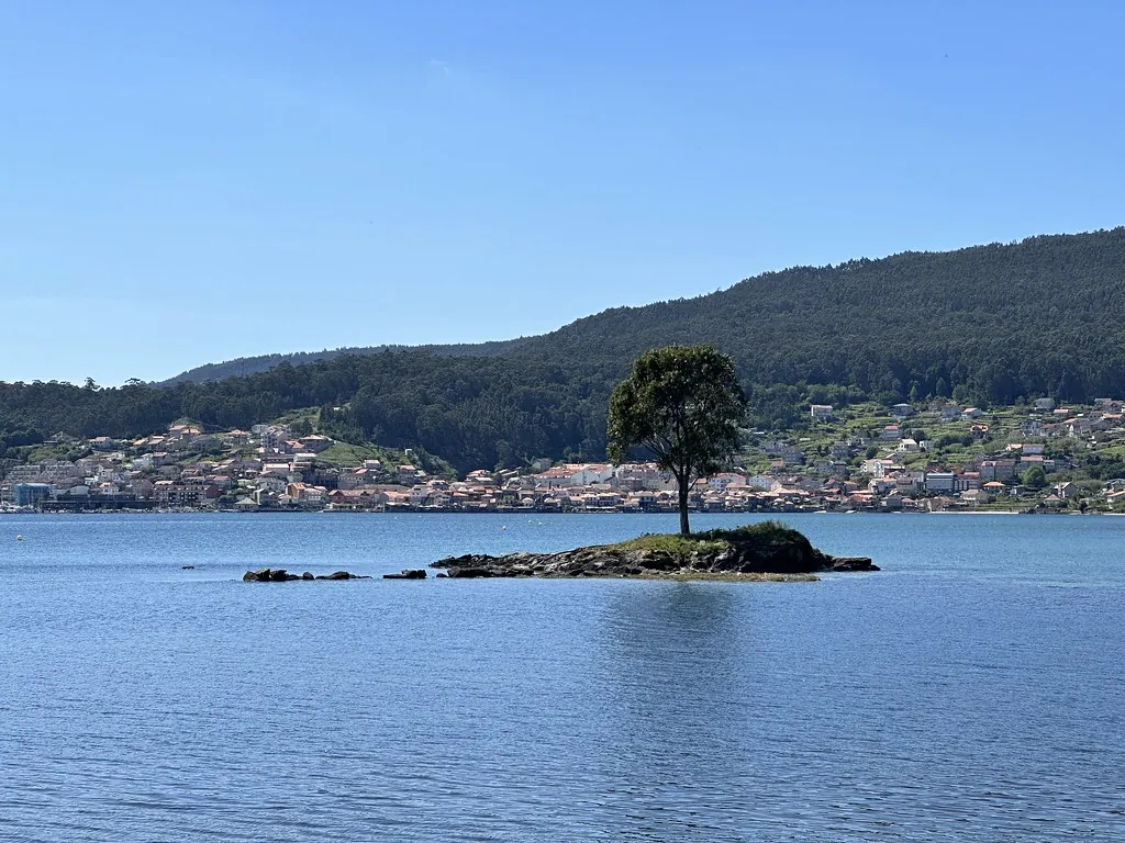
Marín owes its existence to a very specific geographical feature. At this point, the ría de Pontevedra narrows just enough to offer protection from Atlantic storms, while still allowing boats to enter comfortably. That balance explains why there was maritime activity here from an early date.
By the 16th century there are records of sardine fishing and fish salting along the shore. In the 19th century, when preservation shifted to the canning system, the port expanded quickly and tin factories linked to the fishing industry appeared. Many women from nearby parishes worked cleaning and preparing fish. For decades, that labour sustained the local economy.
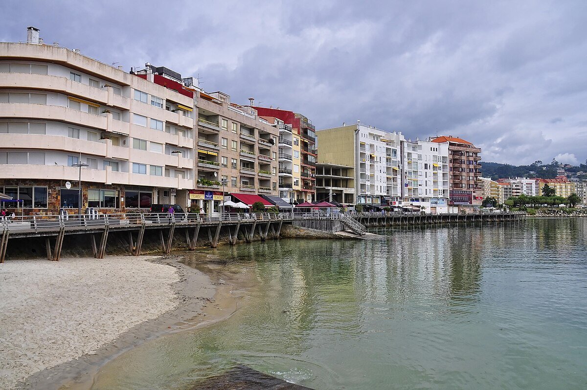
Growth brought a familiar problem for ports: lack of space. Much of today’s seafront stands on land reclaimed from the ría. First came the infill connected to the commercial quay, later the fishing facilities. Over time, this process physically separated the town centre from the water. Older residents often repeat the same story: the ría once reached their doorsteps, now it takes a short walk to see it.
This altered coastline helps explain the character of Marín today. The water remains central, yet the relationship with it is filtered through docks, warehouses and port infrastructure.
Mogor and the marks of prehistory
A few minutes from the centre, on a hillside overlooking the ría, lie the petróglifos de Mogor. They are among the best known groups of prehistoric rock carvings in Galicia. Spirals and labyrinths appear again and again, motifs that also feature in Atlantic prehistoric art more broadly.
They are usually dated to several millennia before our era, although the interpretation of these symbols remains open. What stands out is not only the carvings themselves but their setting. From the rocks, the view over the ría makes it easy to imagine how ancient communities used this inlet as a route of communication long before modern roads existed.
The visit places Marín within a much longer timeline. The port may define the present, yet these engravings point to human presence that predates the town by thousands of years.
Beyond the harbour: the inland parishes
The municipality of Marín extends well beyond the port. Inland, rural parishes appear and the landscape shifts quickly. There are small agricultural holdings, hórreos beside houses, and secondary roads linking scattered villages. Hórreos are traditional raised granaries, built to keep crops dry and protected, and they remain a familiar sight across Galicia.
The church of Santo Tomé de Piñeiro is often mentioned as one of the older temples in the municipality. The current building has undergone alterations over the centuries. Its interest lies as much in its surroundings as in its walls: a cemetery, an atrio or churchyard space, and a handful of stone houses that retain the scale of a traditional Galician parish.
Travelling through this part of the municipal area clarifies something essential about Marín. The town has always moved to two distinct rhythms. One belongs to the port, tied to tides and landings. The other belongs to the nearby countryside, where life follows agricultural cycles and village routines.
The fish market and the weight of the catch
The fishing port still shapes daily life. Boats return in the early hours and activity concentrates around the lonja, the fish auction hall where the catch is sold on. From there, fish travels just hours later to markets across much of Spain.
For decades, a significant trawler fleet operated from here, placing Marín among the most active fishing ports in the north-west. That level of activity had a direct effect on the local economy. A large share of the highest-value product leaves quickly for other destinations.
This helps explain a small but telling detail. In the town’s bars, what tends to appear are modest tapas closely linked to whatever has arrived that day. The question is less about abundance than about availability. The finest seafood often has another market waiting for it before the afternoon ends.
Even so, the presence of the fleet and the auction hall continues to define the atmosphere. The port is not a backdrop but a working environment whose schedule influences the town around it.
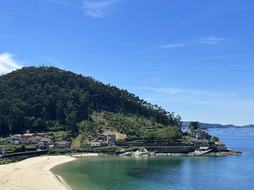
Atlantic-facing beaches
Towards the outer edge of the ría, several beaches open more directly onto the Atlantic. Aguete, Portocelo and O Santo form part of this stretch of coastline. Here the water is usually a little colder and the afternoon wind makes itself felt.
In summer, many visitors arrive from Pontevedra and other nearby cities. Even so, the atmosphere tends to differ from that of the ría de Sanxenxo. These are more open beaches, with less development around them and a sense of coastline that remains relatively natural.
They provide a contrast to the industrial profile visible from parts of the harbour. Within a short distance, Marín moves from docks and ship movements to sand and Atlantic swell.
Getting around
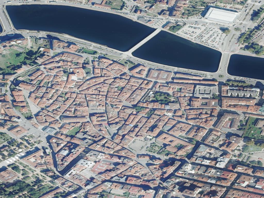
The urban centre can be explored on foot, from the area of the Escuela Naval down to the port and the municipal market. The scale is manageable and the main points of interest sit within a compact area.
To visit the petróglifos de Mogor or to reach the inland parishes, a car is advisable. There are buses between Pontevedra and Marín, though connections towards the villages are more limited.
A straightforward way to organise a day is to spend the morning around the port, when there is more movement, and leave the afternoon for the beaches or for heading up into the rural parts of the municipality. The change of pace is noticeable. In those inland areas, Marín resembles the Galicia of parishes and farmland more than the industrial port seen from the ría.
Marín does not present a single, unified image. It is at once a working fishing port, a naval town, a rural municipality and a place marked by prehistoric carvings. Understanding it means accepting those layers and the distance, both physical and symbolic, between the reclaimed waterfront and the older memory of the ría at the doorstep.