Full Article
about Pazuengos
High-mountain municipality in the Sierra de la Demanda, known for its pastures and trails.
Hide article Read full article
A village shaped by the mountains
At 1,158 metres above sea level, on the northern side of the Sierra de la Demanda, Pazuengos is defined by its scale. It is a very small village, home to just over twenty people, where daily life has long been tied to the surrounding hills. Livestock and forestry once supported the community, and that history still explains much of what is found here today: a handful of houses, very little noise, and a close, practical relationship with the mountain landscape.
There are no services and no steady commercial activity. Pazuengos functions more as a starting point for exploring the upper part of the Ezcaray area than as a destination with its own infrastructure. People come here to head out rather than to stay in place.
A compact mountain settlement
The village is arranged along a few short streets. The houses follow a clear mountain logic, built to deal with cold winters and shifting weather. Thick stone walls provide insulation, while sloping tiled roofs help shed snow and rain. Wooden balconies, when possible, face the sun.
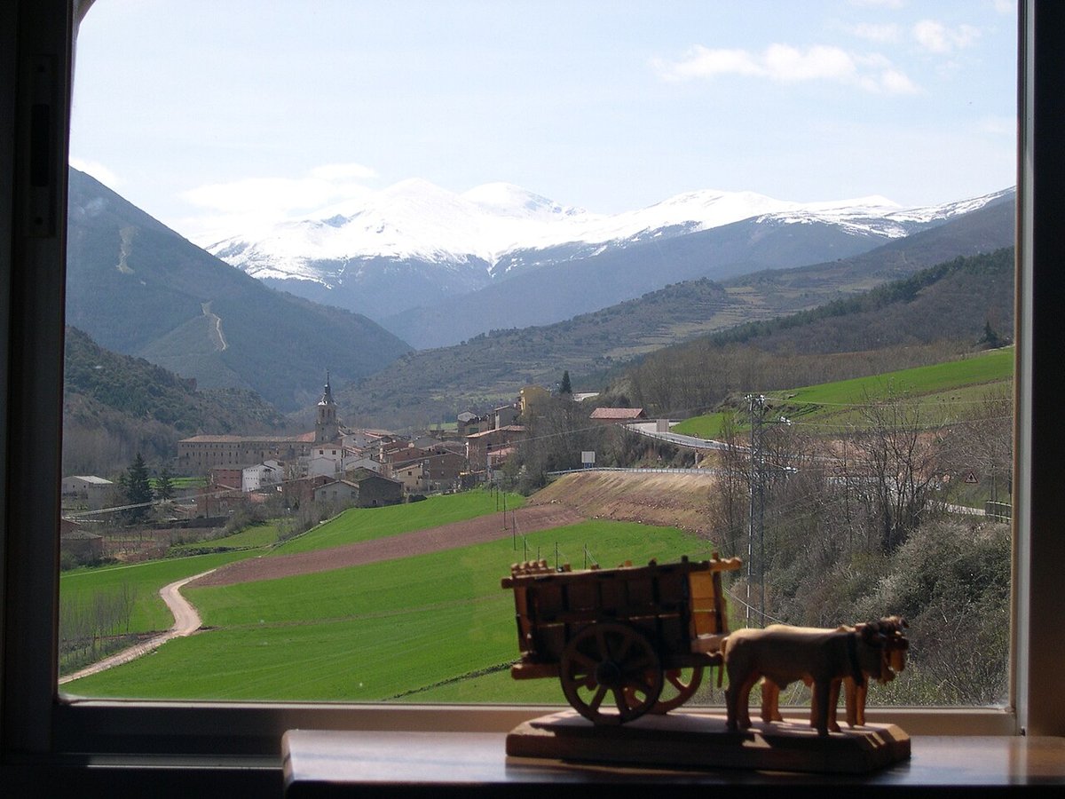
At the centre stands the parish church. It is a modest building, without elaborate decoration. Its bell gable rises above the rooftops and acts as a visual marker when approaching along the road. In places as small as this, the church tends to gather what remains of communal life, especially at certain times of year.
There is little in the way of ornament. The settlement reflects necessity rather than display, and that restraint gives it a clear identity.
The landscape of the Sierra de la Demanda
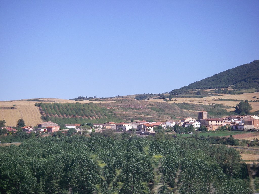
The setting explains why Pazuengos exists at all. The nearby slopes are a mix of oak woods, beech forests and areas of pine, interspersed with pasture that has traditionally been used for grazing.
To the south rises the bulk of the Demanda massif. From the surroundings of the village, on a clear day, the outline of San Lorenzo is easy to recognise. At 2,330 metres, it is the highest peak in La Rioja. For generations of residents and shepherds, that silhouette has been part of the everyday horizon.
The terrain is typical of mid-mountain environments. It shifts between wooded areas and open ground, with gradual changes rather than sharp contrasts. The sense of space comes from elevation and exposure rather than dramatic features.
Walking routes and mountain paths
Most people who reach Pazuengos do so to walk. The paths that leave the village were not created as tourist routes. Many began as livestock tracks or forestry roads, linking meadows, enclosures and wooded areas.
Because of that, it is important to be properly oriented before setting out. Not all routes are signposted, and fog can appear quite easily in this part of the sierra. Carrying a map or a downloaded track makes a noticeable difference.
Wildlife is typical of this kind of landscape. Roe deer and wild boar leave traces along the edges of the paths. With patience, it is also possible to spot birds associated with forest environments.
The experience of walking here is shaped less by marked viewpoints and more by continuity. The paths connect working landscapes, and that sense of function still lingers even when they are used for leisure.
A short walk through the village
Pazuengos itself can be explored quickly. In less than an hour, most of its streets have been covered.
It is worth paying attention to small construction details. Deep eaves extend from the roofs to protect against snow. Wooden balconies were once used for drying or storing tools and materials linked to rural work. The stone walls are solid and unadorned. Each feature responds to need rather than aesthetics.
From the area around the church, the position of the village in relation to the surrounding mountains becomes especially clear. The layout and orientation make sense when seen against the slope and the wider landscape.
Practical considerations before visiting
The access road is a mountain road, with bends and narrow sections. In winter or during fog, driving requires care.
Weather conditions change quickly at this altitude. Even in summer, the wind can bring down the temperature towards evening. Anyone planning to walk in the area should take an extra layer and carry water.
There are no shops or services in the village. It is sensible to arrive with everything needed for the outing.
Getting there
From Logroño, the usual route follows the N-120 to Santo Domingo de la Calzada, then continues towards Ezcaray. From there, a local road climbs towards the small settlements in the upper part of the sierra until reaching Pazuengos.
Road conditions vary depending on the season, which is typical in this part of the Demanda range. It is best to allow enough time for the journey, especially if planning to return before nightfall.